


These two lessons aim to develop basic geographical skills in year 7 students. It introduces the continent of North America, its physical features and introduces students to how we read height on maps.
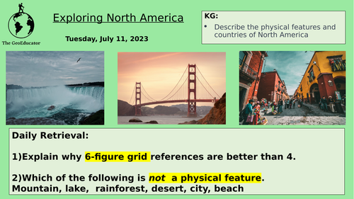
• Focus on North America as one of the seven continents.
• Identify and locate countries in North America
• Explore the physical features of North America, such as The Rocky Mountains and Mount St Helen’s.
• Introduce and practice using contour lines, spot heights and layer shading.
Something went wrong, please try again later.
This resource hasn't been reviewed yet
To ensure quality for our reviews, only customers who have purchased this resource can review it
Report this resourceto let us know if it violates our terms and conditions.
Our customer service team will review your report and will be in touch.
£2.00