


Tour the Panama Canal with Google Earth (03:02)
Make a virtual field trip to one of North America’s most famous landmarks. You will be using Google Earth to watch a pre-recorded video tour of the Panama Canal, which connects the Atlantic and Pacific Oceans. The video lasts for 3 minutes and 2 seconds.
The product includes a document of 27 talking points and interesting facts about one of the modern wonders of the world.
It also provides a PDF that describes what you are seeing based on the corresponding minutes in the video. This is so you can pause the tour at the given time stamp and let the class know what they are looking at.
• For example the document says at 1 minute and 5 seconds – “1:05 – Pause here to get a view of the Gatun Locks and the manmade Gatun Lake just beyond. At the time of its construction, the large body of water was the largest manmade lake in the world.”
The tour begins with a view of North America from outer space. You are then zoomed to the Atlantic side’s entrance near the city of Colon. You will visit the three famous locks: Gatun Locks, Pedro Miguel Locks, and Miraflores Locks. You will fly above Gatun Lake, travel down the Chagres River towards the Bridge of the Americas as you enter the Pacific, and much more. Finally, you are taken back out to a long shot of North America.
To watch, all you have to do is click on the file and you will be taken on the three-minute tour of the “big ditch”. * Your computer must have Google Earth to watch these tours.
Feel free to visit some other famous landmarks in North America.
1. The Grand Canyon (1:37)
2. The Golden Gate Bridge (1:46)
3. Chichen Itza (1:36)
4. Niagara Falls (1:21)
5. Panama Canal (3:02)
6. Statue of Liberty (2:07)
7. Ole Faithful in Yellowstone National Park (1:26)
8. Gateway Arch in St. Louis, Missouri (1:06)
These tours work great with social studies lessons about famous landmarks, maps, landforms, cardinal directions, etc.
Here are a few links to some helpful tutorials on how to use Google Earth.
How to Use Google Earth For Beginners – by Rick Castellini on YouTube
Beginner Google Earth Tutorial Videos by Google
Beginner’s Guide to Using Google Earth – by The Land Brothers
Please feel free to email me directly at r_nyg@yahoo.com if you need any assistance.
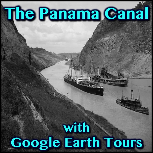
The cover photo is a Creative Commons Attribution 2.0 photo by Detroit Publishing Co. collection at the Library of Congress.
Google Earth Tour Map Attribution
Map Data: Google, Image Landsat / Copernicus
Data SIO, NOAA, U.S. Navy, NGA, GEBCO
Image IBCAO
Image U.S. Geological Survey
US DEPT of State Geographer
Image © 2016 DigitalGlobe
Image © 2016 CNES / Astrium
© 2016 Google
Make a virtual field trip to one of North America’s most famous landmarks. You will be using Google Earth to watch a pre-recorded video tour of the Panama Canal, which connects the Atlantic and Pacific Oceans. The video lasts for 3 minutes and 2 seconds.
The product includes a document of 27 talking points and interesting facts about one of the modern wonders of the world.
It also provides a PDF that describes what you are seeing based on the corresponding minutes in the video. This is so you can pause the tour at the given time stamp and let the class know what they are looking at.
• For example the document says at 1 minute and 5 seconds – “1:05 – Pause here to get a view of the Gatun Locks and the manmade Gatun Lake just beyond. At the time of its construction, the large body of water was the largest manmade lake in the world.”
The tour begins with a view of North America from outer space. You are then zoomed to the Atlantic side’s entrance near the city of Colon. You will visit the three famous locks: Gatun Locks, Pedro Miguel Locks, and Miraflores Locks. You will fly above Gatun Lake, travel down the Chagres River towards the Bridge of the Americas as you enter the Pacific, and much more. Finally, you are taken back out to a long shot of North America.
To watch, all you have to do is click on the file and you will be taken on the three-minute tour of the “big ditch”. * Your computer must have Google Earth to watch these tours.
Feel free to visit some other famous landmarks in North America.
1. The Grand Canyon (1:37)
2. The Golden Gate Bridge (1:46)
3. Chichen Itza (1:36)
4. Niagara Falls (1:21)
5. Panama Canal (3:02)
6. Statue of Liberty (2:07)
7. Ole Faithful in Yellowstone National Park (1:26)
8. Gateway Arch in St. Louis, Missouri (1:06)
These tours work great with social studies lessons about famous landmarks, maps, landforms, cardinal directions, etc.
Here are a few links to some helpful tutorials on how to use Google Earth.
How to Use Google Earth For Beginners – by Rick Castellini on YouTube
Beginner Google Earth Tutorial Videos by Google
Beginner’s Guide to Using Google Earth – by The Land Brothers
Please feel free to email me directly at r_nyg@yahoo.com if you need any assistance.
The cover photo is a Creative Commons Attribution 2.0 photo by Detroit Publishing Co. collection at the Library of Congress.
Google Earth Tour Map Attribution
Map Data: Google, Image Landsat / Copernicus
Data SIO, NOAA, U.S. Navy, NGA, GEBCO
Image IBCAO
Image U.S. Geological Survey
US DEPT of State Geographer
Image © 2016 DigitalGlobe
Image © 2016 CNES / Astrium
© 2016 Google
Something went wrong, please try again later.
This resource hasn't been reviewed yet
To ensure quality for our reviews, only customers who have purchased this resource can review it
Report this resourceto let us know if it violates our terms and conditions.
Our customer service team will review your report and will be in touch.
$2.99