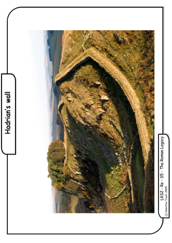

Children study old Roman maps and look at the walls that the Romans built to protect their empire. They study Hadrian’s wall and look at pictures. They create their own map of the boundaries of the Roman empire, drawing walls, marking rivers, coasts etc.
Suitable for years 3 and 4.
Suitable for years 3 and 4.
Something went wrong, please try again later.
Can we still access the session resources mentioned?
Looking at Roman Life in Britain, this lesson plan and resource explores Hadrian's Wall
Report this resourceto let us know if it violates our terms and conditions.
Our customer service team will review your report and will be in touch.
£0.00
