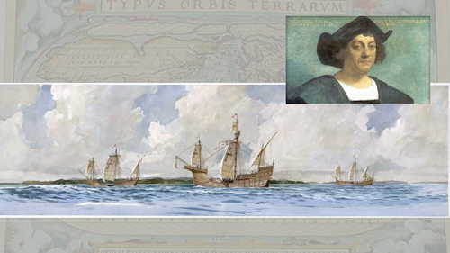
A Powerpoint with maps and images for illustration and discussion. A starting point for a variety of activities based around the images, how to use the maps, who created the images and why and when. Could be used in Topic work, Geography, History or literacy activities.
Something went wrong, please try again later.
Excellent resource - thank for sharing.
Report this resourceto let us know if it violates our terms and conditions.
Our customer service team will review your report and will be in touch.
£0.00
