Geography teaching resources for KS2, KS3, KS4 and KS5. Worksheets and resources are mostly all contained within the lesson powerpoints for convenience.
Geography teaching resources for KS2, KS3, KS4 and KS5. Worksheets and resources are mostly all contained within the lesson powerpoints for convenience.
Lesson covers the meaning of deforestation and causes of deforestation
Activities include sorting statements, describing deforested areas and exam practice
All resources and worksheets are included at the end of the ppt
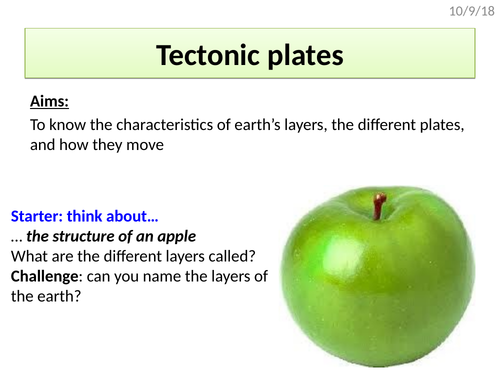
Lesson covers the layers of the earth and their characteristics, plate movement theory, convection currents and evidence for plate movement.
Activities include identifying the layers, describing the earth’s plates and describing the sequence of convection currents.
All worksheets included within the ppt.
KS5
Lesson covers what the carbon budget is, what can happen to change the carbon budget, and the concept are carbon footprints with the opportunity for students to calculate their own carbon footprints
Resources and sheets included with the ppt
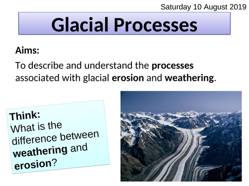
A lesson that covers the key processes of glaciation that help to then create all the landforms of erosion.
Lesson includes:
An overview of erosion and weathering
A note-taking task with clear images of erosion and weathering processes
Comprehension questions to check understanding
Final odd-one-out quiz
All lesson resources and worksheets and included in the powerpoint.
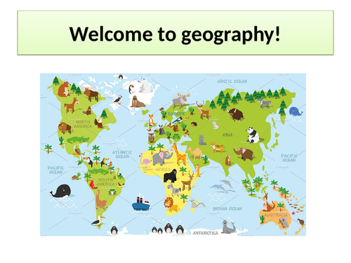
A tried and tested(!) powerpoint that contains a range of activities including a world knowledge quiz and an interactive ‘map-the-world’ task that students can gradually add to as they move in and out of the classroom over the course of the evening.
The powerpoint slides contain lots of little sheets (e.g. flags, animals, boxes to write capital cities, mountain ranges, rivers etc) that can be printed out for students to colour and add information to, and then pin onto a larger world map to make a colourful display. A large map and atlases are required to carry this out.
This has worked really successfully as a way to engage students and talk to them about geography, and create something visually-exciting and meaningful.
An overview of the UK’s relief, geology (including definitions of key rock types), landscapes (e.g. national parks) and cities.
Activities include labelling maps, describing maps, and fast knowledge recall.
All worksheets included within the ppt. An atlas with a UK map and geology map may be helpful (images included in ppt if not).
Lesson is focused around a series of skills questions that help students unravel how boosting and investing in the tourism industry can help countries like Jamaica to develop
All activities and questions included within the ppt
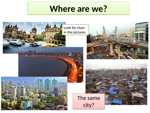
This lesson covers the location of Mumbai and features such as its population, wealth, push and pull factors, employment and problems in the slums.
Activities include describing Mumbai’s location and answering short knowledge recall questions.
All resources, worksheets and information sheets included within the ppt.
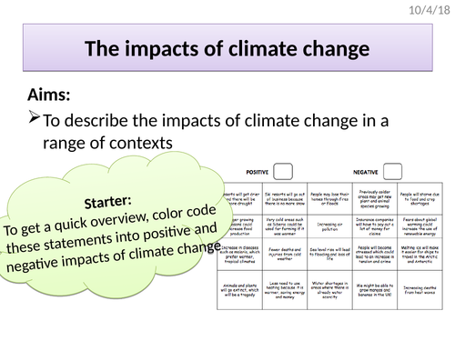
Lesson covers general impacts of climate change and a range of impacts on the Arctic including a loss of albedo, melting, sea level rise, impacts on local communities
All resources are included within the ppt
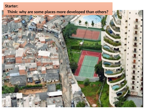
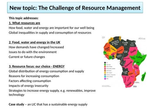
Lesson covers the environmental, natural, and historical reasons behind uneven development and considers what this means for different countries
Includes a card sort activity for each of the different categories
All resources included within the ppt
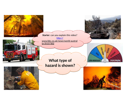
A fully planned lesson that covers the types, causes, effects and responses to wildfires; it also covers the case study of wildfires in South Australia (Black Saturday)
High quality worksheets included within the ppt
A detailed introduction to the topic of glacial landscapes in the UK.
Lesson includes:
An overview of earth’s glacial history including key words tasks (glacial, interglacial etc)
A timeline activity of earth’s glacial history
A partner talk task on the causes of temperature change (past and present)
A mapping task to plot (and then describe) earth’s current glacial distribution
Exam pratice question with answers
All lesson resources and worksheets are included within the powerpoint.
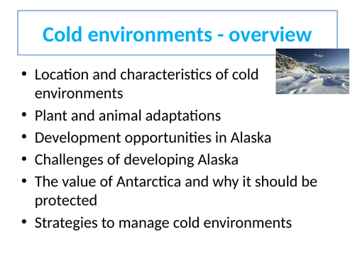
Lesson covers the location of cold environments, their climate, and the difference between polar and tundra
Activities include describing a map, coding statements, and interpreting a climate graph
All resources and worksheets are included within the ppt
Lesson covers the features of a hydrograph, sequence of a hydrograph, and factors that affect it.
Activities include a ‘graphs from memory’ group task, labelling a hydrograph, identifying affecting factors, and extended exam practice with model answers.
All worksheets and resources are included within the ppt.
KS4
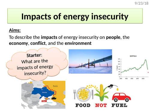
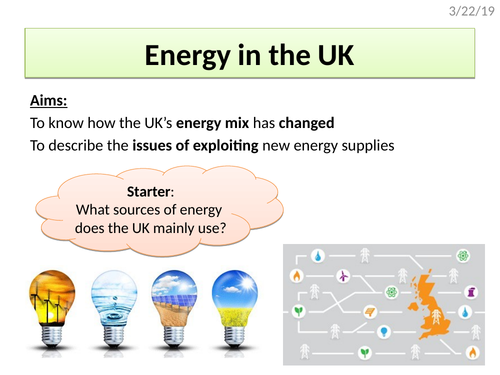
Lesson covers the UK’s energy mix, how uses of fossil fuels has changed and the issues of energy exploitation
All resources are included within the ppt
A detailed 1-hour lesson that covers the physical and human causes of floods, hydrographs, factors that affect the shape of a hydrograph, and exam questions.
Activities include a card sort of physical and human factors, labeling a hydrograph, sorting short and long lag times, and exam practice questions (with answers included).
All worksheets and activities are included within the ppt.
Lesson covers 7 different strategies to save tropical rainforest
Activities include questioning, structured note taking and exam question practice
All resources and worksheets included within the ppt
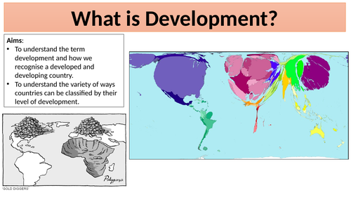
An overview of the meaning of the word ‘development’ using photo prompts, a discussion around HIC/LIC/NEE and a describing task.
All resources included within the ppt