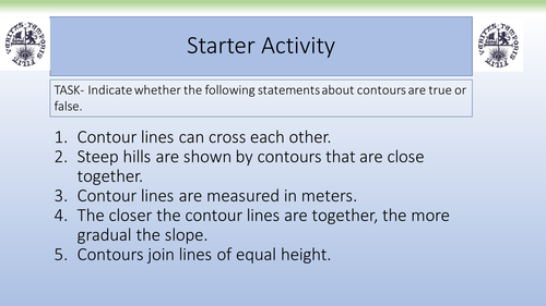


This contains a fully resourced, differentiated lesson on contours. This lesson, well situated after a lesson on the basics of contours, involves students creating their own 3D cardboard models to show how contours can show the height and shape of the land. It contains a full set of step-by-step instructions and supporting visuals to assist students with this.
Learning Objectives:
To identify how contours can be represented through 3D modelling.
To describe the relief of your models using appropriate geographical terminology.
Learning Objectives:
To identify how contours can be represented through 3D modelling.
To describe the relief of your models using appropriate geographical terminology.
Get this resource as part of a bundle and save up to 50%
A bundle is a package of resources grouped together to teach a particular topic, or a series of lessons, in one place.
Something went wrong, please try again later.
Task did not appear to have differentiated resources.
Report this resourceto let us know if it violates our terms and conditions.
Our customer service team will review your report and will be in touch.
£4.00