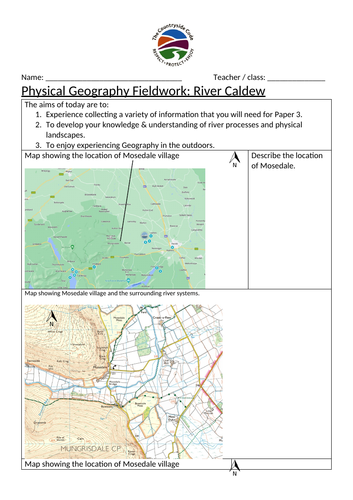

These worksheets take your pupils through the organisation of a fieldwork trip suitable for studying how rivers change from upstream to downstream.
This resource is based on the River Caldew in Cumbria, but the maps can be easily adapted to a location near you.
The worksheets take the pupils through identifying a hypothesis, locations, and completing a risk assessment for the trip.
The data that can be recorded on the sheets are cross sectional area, width, and velocity of river at three different sites.
This is a ready made resource that will enable you to complete a fieldwork day in your local area.
Something went wrong, please try again later.
This resource hasn't been reviewed yet
To ensure quality for our reviews, only customers who have purchased this resource can review it
Report this resourceto let us know if it violates our terms and conditions.
Our customer service team will review your report and will be in touch.