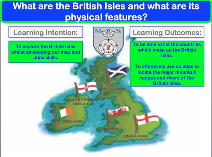


Another lesson taken from my 'Around the World' scheme of work. This particular lesson focuses on the physical features of the British Isles (countries, rivers, mountains and cities). The main skill focus is map work and please note that pupils will require an atlas to complete the main task. Alternatively, a basic GIS could be used (google earth etc) and the skill focus could become GIS.
We currently have British Isles whiteboards (whiteboards with an outline of the British Isles on them) and one of the progress checkers uses these- your particular school may not have access to these but the progress check can be adapted for use with just blank mini whiteboards.
Lesson was used as part of a whole school learning walk and received very positive feedback on how student-lead and skill focused the activities were.
Plenty of discussion opportunities feature along with extension tasks to stretch and challenge.
Something went wrong, please try again later.
This resource hasn't been reviewed yet
To ensure quality for our reviews, only customers who have purchased this resource can review it
Report this resourceto let us know if it violates our terms and conditions.
Our customer service team will review your report and will be in touch.
£4.00