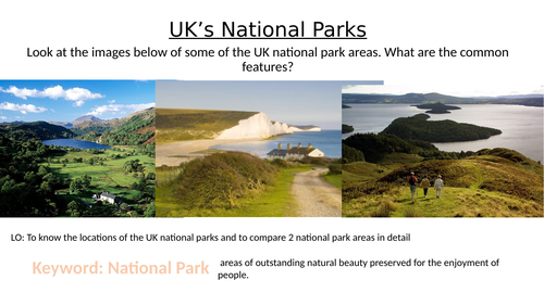

National Parks were established in 1951 with the Peak District designated as the first official national park in England. They came about after mass protests in the 1930’s from the working classes demanding greater access to the countryside. Since then, many more have been added such as the ’ South Downs’ and ’ New Forest’.
This lesson is based around developing maps skills at ks3 and generating a locational knowledge of the UK by building group ’ maps from memory’ maps of the UK national park. Maps from memory simply involved one person from each group going to look at the completed map outside the classroom, remembering the name and location of one park, then returning to add it onto their group blank map inside the classroom. It is a popular and well known geography learning game.
The students then analyse 2 separate maps of two different national parks ; the Cairngorms national park, and the Pembrookshire Coast. They use the maps to fill in a comparison grid which asks them to identify human and physical attractions. This activity could be supplemented by use of ipads to navigate to BING maps or similar to find out more detailed information. This task could be done individually or or pairs.
Finally there is a plenary discussion on alternative geographical futures ; what would the UK be like now if there were no National parks?
Something went wrong, please try again later.
This resource hasn't been reviewed yet
To ensure quality for our reviews, only customers who have purchased this resource can review it
Report this resourceto let us know if it violates our terms and conditions.
Our customer service team will review your report and will be in touch.