156Uploads
241k+Views
299k+Downloads
All resources

AQA Geography Paper 1 Revision Booklet
This is a comprehensive revision booklet based around AQA Geography Paper 1 exam.
The idea of this booklet is for students to complete a range of activities in a bit to aid their revision, before their exam. I originally created this booklet for PP students, however this this is more than suitable for anyone to complete. Please note all case studies and examples can be edited to match the ones you use.
Inside the booklet you will see activities for the following units:
The challenge of natural hazards
The living world (Rainforests and Hot deserts)
Physical Lanscapes of the UK (Coasts and Rivers)

Mount Everest
A lesson based on a climb up Mount Everest, it allows students to develop their decision making and gain a better understanding of what mount Everest is like.

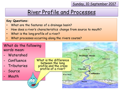
River Profile and Processes
This lesson focus on the new AQA GCSE specification. This is the first lesson in the unit title River Landscapes in the UK. This lesson covers the following elements from the specification:
- The long profile and changing cross profile of a river and its valley.
- Fluvial processes:
* Erosion - hydraulic action, abrasion, attrition, solution, vertical and lateral erosion.
* Transportation - traction, saltation, suspension and solution
* Deposition - why rivers deposit sediment.
NOTE - when it refers to page numbers please see the fact sheet provided.

Flood Risk and Hydrographs
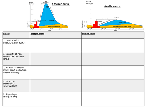
This lesson is based around the new AQA GCSE specification. This is a lesson in the unit titled River landscapes in the UK. The main aim of this lesson is to cover the following element of the specification:
How physical and human factors affect the flood risk - precipitation, geology, relief and land use.
The use of hydrographs to show the relationship between precipitation and discharge.

A Systems Approach - AQA A Level
This lesson is based around the new AQA A Level specification. This is a lesson in the unit titled Water and Carbon Cycles. The main aim of this lesson is to cover the following element of the specification:
3.1.1.1 – Water and carbon cycles as natural systems.
Systems in physical geography: systems concept and their application to the water and carbon cycle inputs – outputs, energy, stores/components, flows/transfers, positive/negative feedback, dynamic equilibrium
Any pages referenced are from the Oxford physical textbook.
Please note I do not own the rights to any of the images used in this powerpoint.
Bundle

River Landscapes in the UK
This bundle contains all but 2 lesson required to teach the River landscapes in the UK unit, which is part of the new AQA GCSE Specification.
The lessons missing are an example of a river valley in the UK to identify its major landforms of erosion and deposition and the example of a river mangement scheme.
I have included the first lesson of the unit for free so that you can get a feel for the style of lessons.

OCR A Level Earth Hazards Case Study Summary Sheets
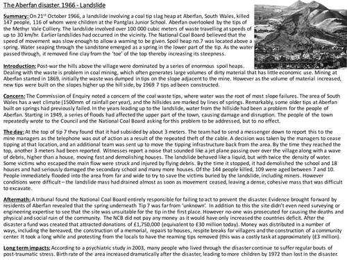
Case study summary sheets for the Earth Hazards unit of the OCR A Level specification. This includes: Aberfan Landslide, Holbeck Hall Landslide, Venezuelan mudslide, Yangtze River flood, Netherlands storm surge, Northridge and Buji Earthquakes, Asian tsunami, Kashmir earthquake, Montserrat Volcanic eruption and Eldfell Volcanic eruption.

OCR A Level Population and Resources Case Study Summary Sheets
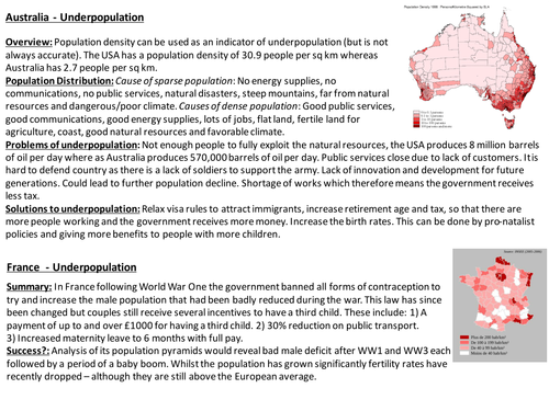
Case study summary sheets for the Population and Resources unit for the OCR A Level specification. This includes: Australia, UK ageing population, China, India, Sweden, Tin Mining, Wind energy, Water supply USA, Wheat, Uranium, Resource classification, China, USA, Bangladesh, Japan, China, Democratic Republic of Congo, CFP, CAP.

Hazard Management
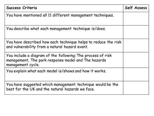
This lessons is from the new AQA A Level specification on Hazards. This lesson looks at students understanding of key terms, the different models that are used to manage natural hazards, in addition to what is meant by each of the management strategies.

River Management
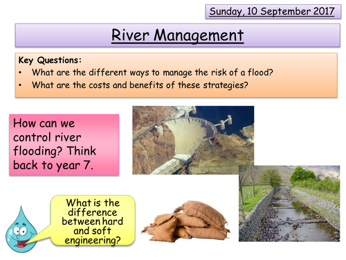
This lesson is based around the new AQA GCSE specification. This is a lesson in the unit titled River landscapes in the UK. The main aim of this lesson is to cover the following element of the specification:
- The costs and benefits of the following management strategies:
* Hard engineering - dams and reservoirs, straightening, embankments, flood relief channels
* Soft engineering - flood warnings and preparation, flood plain zoning, planting trees and river restoration.

Erosional and Depositional Landforms - Rivers
This lesson is based around the new AQA GCSE specification. This is a lesson in the unit titled River landscapes in the UK. The main aim of this lesson is to cover the following element of the specification:
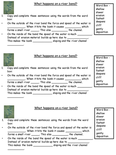
- Charactersistics and formation of landforms resulting from erosion and deposition - meanders and ox-bow lakes.
Bundle

Coasts
This bundle contains a whole unit of work for coasts. This unit is designed for year 8's and aims to give them the basic knowledge and skills in the lead up to GCSE's. In addition to lessons, this bundle contains assessments and fieldwork that can be carried out.

Coastal Fieldwork
This lesson aims to allow students to conduct fieldwork based around the coast. This lesson contains 3 individual lessons:
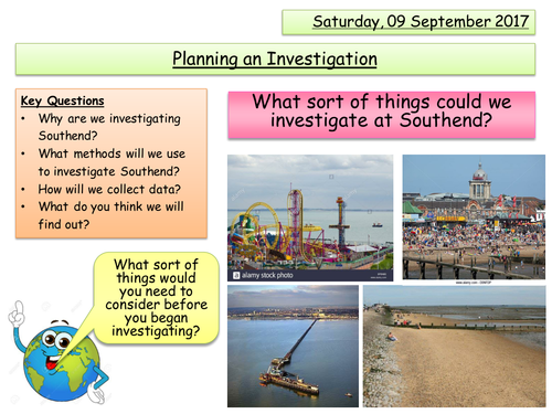
Lesson 1 is a preparation lesson, where students think about what could be investigated at a coastal location, what methods and sampling could be used, in addition to coming up with a hypothesis. This lesson would need to be followed by conducting the fieldwork in a coastal location. Included in this lesson is an activity book that can used at a coastal location with groynes.
Lesson 2 is an assessment based lesson which gets students to present their findings, analyse their findings, before drawing conclusions of their findings.
Lesson 3 is then the feedback element where students are encouraged to improve their fieldwork skills.
NOTE - This lesson is based around Southend but is easily adaptable for any location with a groyne. Also note that MG03 is based around AO4 on the GCSE specification, but this has been reduced to what is expected from a year 8 student.

Holderness Coast
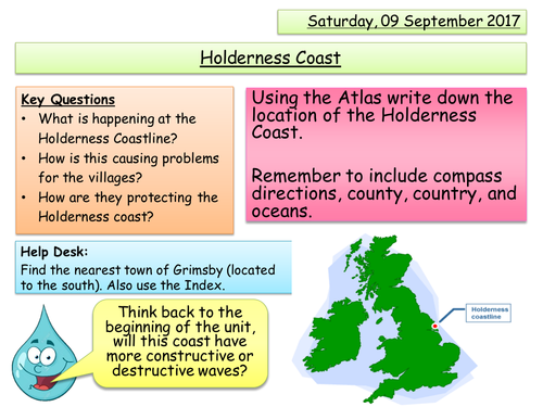
This lesson aims to allow students to gain an understanding of what is happening at the Holderness Coastline. It looks at the erosion taking place and the impact this is having on the local area. This is then followed by looking at the management strategies that Holderness has implement and the impact this has caused.
By the end of the lesson students will be able to answer the following key questions:
- What is happening at the Holderness Coastline?
- How is this causing problems for the villages?
- How are they protecting the Holderness coast?

Erosional Landforms - Rivers
This lesson is based around the new AQA GCSE specification. This is a lesson in the unit titled River landscapes in the UK. The main aim of this lesson is to cover the following element of the specification:
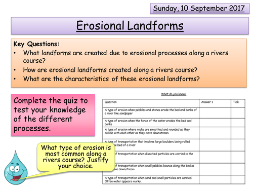
- Characteristics and formation of landforms resulting from erosion - interlocking spurs, waterfalls and gorges.

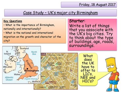
Major UK city - Birmingham's Importance
This lesson is the first part of the major UK city you must cover in the new AQA GCSE specification. This lesson aims to cover the following element from the specification:
- The location and importance of the city in the UK and the wider
world
- Impacts of national and international migration on the growth and
character of the city
NOTE = When it refers to a page number please use the factfile attached.

Water Cycle Changes - AQA A Level
This lesson is based around the new AQA A Level specification. This is a lesson in the unit titled Water and Carbon Cycles. The main aim of this lesson is to cover the following element of the specification:
3.1.1.2 – Changes in the water cycle over time to include natural variation including storm events, seasonal changes and human impact including farming practices, land use change and water abstraction.
Any pages referenced are from the Oxford physical textbook.
Please note I do not own the rights to any of the images used in this powerpoint.

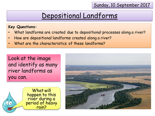
Depositional Landforms - Rivers
This lesson is based around the new AQA GCSE specification. This is a lesson in the unit titled River landscapes in the UK. The main aim of this lesson is to cover the following element of the specification:
- Characteristics and formation of landforms resulting from deposition - levees, floodplains and estuaries.

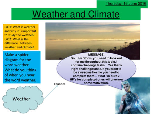
Weather and Climate
This is a lesson, aimed to get students to think about the difference between weather and climate. In addition to thinking about how weather affects people.


