I currently work at the top end of Primary school in Year 5/6. I create resources for a range of subjects and am always open to suggestions for resources people require.
I currently work at the top end of Primary school in Year 5/6. I create resources for a range of subjects and am always open to suggestions for resources people require.
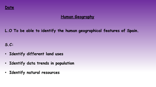
A lesson that focuses on the human geography of Spain, including looking at population trends, average life expectancy and land use. All the resources that are needed to run the lesson are here including differentiated worksheets, the presentation and maps that can be used if you don't have access to atlases etc.
A lesson that focuses on the physical geography of Spain, including looking at the rivers, seas and terrain. All the resources that are needed to run the lesson are here including differentiated worksheets, the presentation and maps that can be used if you don't have access to atlases etc.
Two lessons to focus on the physical and human geography of Britain in particular but the United Kingdom as a whole.
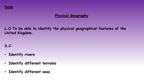
Lesson 1 (titled Lesson 2) - A lesson that focuses on the physical geography of Britain, including looking at the rivers, seas and terrain. All the resources that are needed to run the lesson are here including differentiated worksheets, the presentation and maps that can be used if you don't have access to atlases etc.
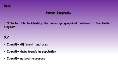
Lesson 2 (titled Lesson 3) - A lesson that focuses on the human geography of Britain, including looking at population trends, average salary and land use. All the resources that are needed to run the lesson are here including differentiated worksheets, the presentation and maps that can be used if you don't have access to atlases etc.
N.B They are titled differently to their actual lesson numbers as they form part of a bigger unit of work.
A lesson that focuses on the human geography of Britain, including looking at population trends, average salary and land use. All the resources that are needed to run the lesson are here including differentiated worksheets, the presentation and maps that can be used if you don't have access to atlases etc.
A lesson that focuses on the physical geography of Britain, including looking at the rivers, seas and terrain. All the resources that are needed to run the lesson are here including differentiated worksheets, the presentation and maps that can be used if you don't have access to atlases etc.
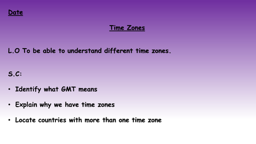
A lesson that focuses on time zones, including a look at GMT/ UTC as well as looking at the history of time zones. Included is everything that is needed to run the lesson including: the lesson plan, differentiated resources and the presentation PowerPoint. Good to use as part of a series of lessons looking at longitude and latitude or a useful one off lesson to practise some key skills and gaining a deeper understanding.
Both assessments are uploaded separately but have been uploaded together for ease where people want both.
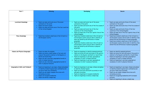
History and Geography assessment grids from Year 1 to 6 that can be used to check children's understanding and use as a progress measure if wished. These are to be used as best fit as there may be some areas they are weaker/ more confident in with the aim being a best fit judgement.
I created these as there appears to be a gap in both history and geography assessment at the minute in primary schools since the move to assessment without levels. This enables schools to have something in place for a foundation subject that links well to other curricular areas, as well as showing an assessment system should visitors wish to know how you monitor progress.
Geography assessment grids from Year 1 to 6 that can be used to check children's understanding and use as a progress measure if wished. These are to be used as best fit as there may be some areas they are weaker/ more confident in with the aim being a best fit judgement.
I created these as there appears to be a gap in geography assessment at the minute in primary schools since the move to assessment without levels. This enables schools to have something in place for a foundation subject that links well to other curricular areas, as well as showing an assessment system should visitors wish to know how you monitor progress.
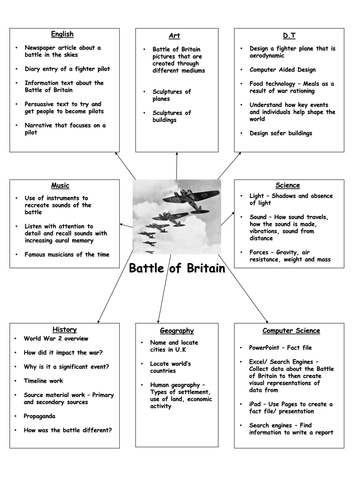
A list of ideas for planning cross-curricular lessons based around a history topic. Included are ideas of how this could be linked to English, D.T, Art, Science, History, Geography, Music and Computer Science.
Areas included so far:
Battle of Britain
Nottingham - A local history study
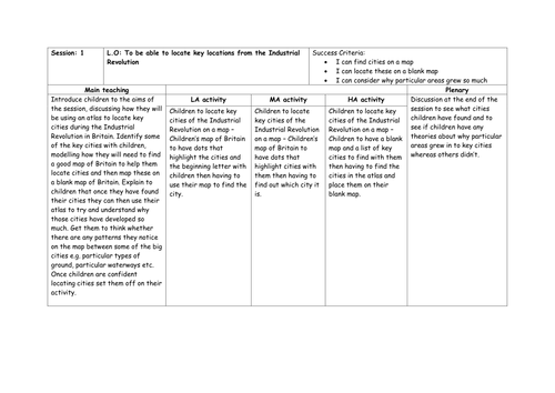
Attached are 5 lessons based on using map skills and linking them to the Industrial Revolution. These have been written with Year 5/6 in mind but are easily adaptable.
Included are the slides, resources and differentiated lesson plans.
Lesson 1 - Identifying UK cities on a map
Lesson 2 - Identifying rivers in the UK
Lesson 3 - Identifying how the UK changed during the Industrial Revolution
Lesson 4 - Identifying the Luddites area of operations
Lesson 5 - British Empire during the period and identifying countries around the world
N.B. You will need atlases for the general atlas activities.
A range of activities related to Christmas/ to help keep children focussed nearer the holidays.
These include:
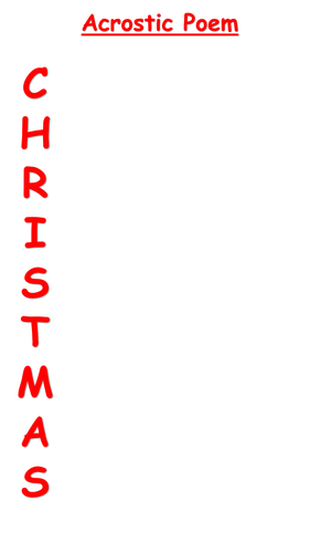
An acrostic poem activity for the word Christmas
Christmas Bingo
Christmas Colouring Sheets
Christmas Coordinates - Identify where the pictures are on the grid
Define Christmas Words
Adjective activities - Think of adjectives to describe the Christmas Tree, Santa or a Reindeer
The Christmas Truce Poem with three differentiated sets of questions and answers included
A definition activity for the poem
Santa Dash - Plan the quickest way around the world for Santa
Comma Claus - Identify where the commas should go
Claus Clauses - Identify and add different clause structures to sentences to improve writing
Three sets of storyboards - Can be used for a range of ideas but created with the Nativity story in mind - Find a great example through Lego here: https://www.tes.com/teaching-resource/nativity-story-3009639
Facts for Christmas around the world with three differentiated sets of questions and answers included
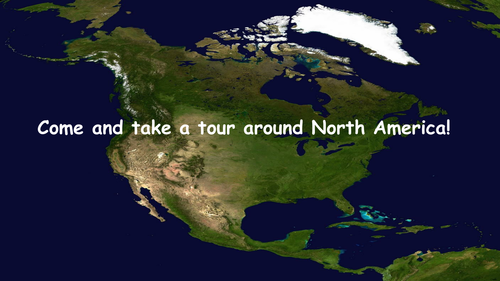
50 page Powerpoint that introduces the continent of North America to children.
Within the Powerpoint, the 23 sovereign states of North America are included. Included are the flags for every country, the capital city and currency for each country as well as two to three facts for every country in North America.
Useful for introducing North America or countries within North America as well as being able to create a fact file using the slides.
28 page Powerpoint that introduces the continent of South America to children.
Within the Powerpoint, the 12 sovereign states of South America are included. Included are the flags for every country, the capital city and main language for each country as well as two to three facts for every country in South America.
Useful for introducing South America or countries within South America as well as being able to create a fact file using the slides.
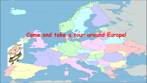
112 page Powerpoint that introduces the continent of Europe to children.
Within the powerpoint, Europe is split into six different zones, introducing every country in Europe. Included are the flags for every country, the capital city and currency for each country as well as two to three facts for every country in Europe.
Useful for introducing Europe or countries within Europe as well as being able to create a factfile using the slides.