 Quick View
Mapping the Silk Route
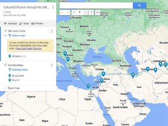
<p>This is a 2 or even 3-part lesson which sees students map the Silk Route using Google ‘My Maps’.</p>
<p>This is mainly a skills-type lesson, using excel and images as map layers. Therefore could be used as a GIS introduction or consolidation lesson, or as part as an SOW for Year 7,8 or 9 geography at the beginning of a globalisation topic.</p>
<p>Make sure to download the Excel file and share to your students using a Google Classroom or other platform so that they can add the cities in the first layer!</p>