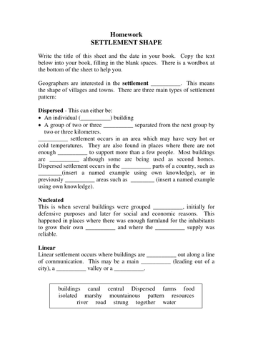


This active and engaging double lesson has been created for GCSE Geography students, although it could easily be adapted for KS3. The lesson aims to develop knowledge and understanding of linear, nucleated and dispersed settlement patterns, and the reasons why these patterns might develop. Students also learn about the characteristics of rural and urban settlements, as well as practicing photograph annotation and mapping skills.
The lesson begins with a mix and match keywords task, followed by a photograph analysis task in which students identify the characteristics and land use in rural and urban areas. The main tasks of the lesson require students to work in pairs and categorise a series of settlements on OS maps as either linear, nucleated or dispersed, using map evidence to support their conclusions; and annotating three photographs explaining the reasons why different settlement patterns might have developed. As preparation for future learning, the final task requires students to select a location for a new settlement on a map, and justify why they chose that location.
The lesson begins with a mix and match keywords task, followed by a photograph analysis task in which students identify the characteristics and land use in rural and urban areas. The main tasks of the lesson require students to work in pairs and categorise a series of settlements on OS maps as either linear, nucleated or dispersed, using map evidence to support their conclusions; and annotating three photographs explaining the reasons why different settlement patterns might have developed. As preparation for future learning, the final task requires students to select a location for a new settlement on a map, and justify why they chose that location.
Something went wrong, please try again later.
This resource hasn't been reviewed yet
To ensure quality for our reviews, only customers who have purchased this resource can review it
Report this resourceto let us know if it violates our terms and conditions.
Our customer service team will review your report and will be in touch.
£3.00