


Two lessons covering the British Isles and ‘My World’:
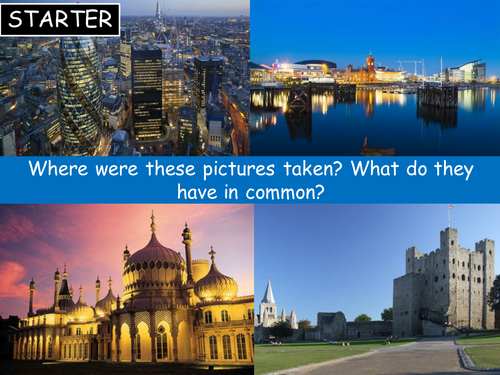
L1: The British Isles – explores the British Isles and its main countries.
L2: My World – starts with a quiz to gauge students understanding of the world around them, before students work on their atlas skills to identify lots of countries and features and create a colourful world map.
These lessons include a range of activities for different learning styles, including think-pair-share, locating places/features using an atlas and a lively maps from memory team game!
Challenge activities (in pink bubbles) have also been included in each lesson.
Used for high-ability Year 7, but could easily be adapted for other year groups and abilities.
Please rate my resources! Thank you :)
Something went wrong, please try again later.
This resource hasn't been reviewed yet
To ensure quality for our reviews, only customers who have purchased this resource can review it
Report this resourceto let us know if it violates our terms and conditions.
Our customer service team will review your report and will be in touch.
£3.50