

An outdoor learning activity to promote the health benefits of using green spaces. It includes a visitor questionnaire, health diary and drawing and interpreting graphs. Two of the lessons are classroom-based, however the other lesson is an outdoor field trip that encourages the learners to put into practise what they have learned in the first lesson.
Learning outcomes
- HWB 3-25a: I am experiencing enjoyment and achievement on a daily basis by taking part in different kinds of energetic physical activities of my choosing, including sport and opportunities for outdoor learning, available at my place of learning and in the wider community.
- HWB 3-27a: I can explain why I need to be active on a daily basis to maintain good health and try to achieve a good balance of sleep, rest and physical activity.
- MTH 2-12d: Having investigated where, why and how scale is used and expressed, I can apply my understanding to interpret simple models, maps and plans.
- SOC 3-14a: I can use a range of maps and geographical information systems to gather, interpret and present conclusions and can locate a range of features within Scotland, UK, Europe and the wider world.
- MTH 3-21a: I can display data in a clear way using a suitable scale, by choosing appropriately from an extended range of tables, charts, diagrams and graphs, making effective use of technology.
This resource was created as part of the GeoScience Outreach Course at the University of Edinburgh and was originally developed for Craigroyston Community High School, located in Edinburgh, Scotland.
Author: Tom Richmond, adapted by Andrew Ferguson.
Unless otherwise stated, all content is released under a CC-BY 4.0 license.
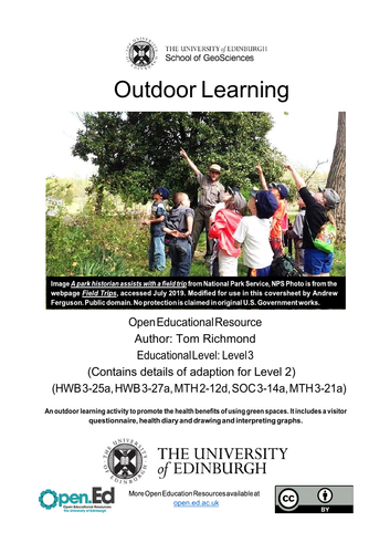
Cover Image “A park historian assists with a field trip” from National Park Service, NPS Photo is from the webpage Field Trips, accessed July 2019. Modified by Andrew Ferguson. Public domain. No protection is claimed in original U.S. Government works.
Something went wrong, please try again later.
This resource hasn't been reviewed yet
To ensure quality for our reviews, only customers who have downloaded this resource can review it
Report this resourceto let us know if it violates our terms and conditions.
Our customer service team will review your report and will be in touch.