
A tried and tested(!) powerpoint that contains a range of activities including a world knowledge quiz and an interactive ‘map-the-world’ task that students can gradually add to as they move in and out of the classroom over the course of the evening.
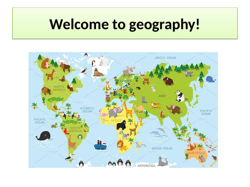
The powerpoint slides contain lots of little sheets (e.g. flags, animals, boxes to write capital cities, mountain ranges, rivers etc) that can be printed out for students to colour and add information to, and then pin onto a larger world map to make a colourful display. A large map and atlases are required to carry this out.
This has worked really successfully as a way to engage students and talk to them about geography, and create something visually-exciting and meaningful.
Something went wrong, please try again later.
This resource hasn't been reviewed yet
To ensure quality for our reviews, only customers who have downloaded this resource can review it
Report this resourceto let us know if it violates our terms and conditions.
Our customer service team will review your report and will be in touch.
£0.00