66Uploads
142k+Views
53k+Downloads
Geography

Urban issues and challenges - Mumbai (population growth)
GCSE Geography - Urban issues and challenges -Mumbai (population growth)
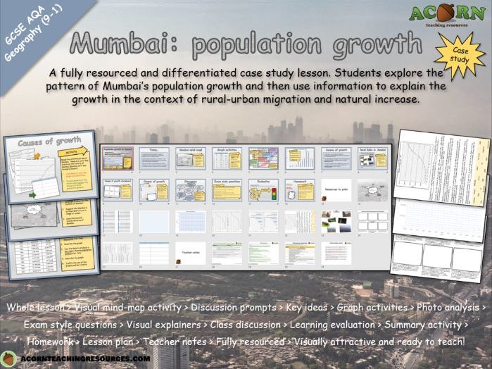
A fully resourced and differentiated case study lesson. Students explore the pattern of Mumbai’s population growth and then use information to explain the growth in the context of rural-urban migration and natural increase.
Whole lesson > Visual mind-map activity > Discussion prompts > Key ideas > Graph activities > Photo analysis > Exam style questions > Visual explainers > Class discussion > Learning evaluation > Summary activity > Homework > Lesson plan > Teacher notes > Fully resourced > Visually attractive and ready to teach!
The main aim is…
For students to describe the scale of population growth in their NEE case study of Mumbai.
To explain the growth (link to rural-urban migration and natural increase) specific to Mumbai.
To understand how rural-urban migration and natural increase are driving urbanisation in their city
Key ideas and content…
Rural – urban migration drives population growth
Population growth drives natural increase
Most migrants are young (natural increase)
Mumbai is a dominant and important city which attracts migrants (rural-urban migration)
The growth of Mumbai can be explained by a series of events in the history of the city
Rural-urban migration and natural increase are linked
NEE’s are likely to experience rapid urbanisation / population grown in cities because of their socio-economic contrasts
To differentiate…
Use the differentiated resources as appropriate.
Include discussion prompts and time the lesson accordingly
To extend…
Students can peer assess / improve their exam questions or photo analysis answers.
Change/adapt the exam style questions
Students can develop their own questions with mark schemes.
Higher ability should be given the opportunity to link the statements about Mumbai to one another
To assess…
The photo analysis offers some assessment opportunity if a focus is given to linking concept/theory to what’s happening in Mumbai
The line/bar graphs aren’t suitable in terms of content, however as a skill they could be assessed for accuracy
The exam style questions offer a summative assessment opportunity for the lesson.

The Geography of Autumn
The Geography of Autumn gives students the opportunity to explore the interaction between people & environment and the Autumn season.
Students will apply atlas skills and explore interactions including: Autumn tourism, the impacts of global warming, animal migrations and cultural celebrations.
This is a structured and visually attractive lesson where the outcome is an informative piece of display work or a booklet. There are several ways the work could be completed over a range of time scales.

Geography - Map skills - Direction
Geography - Map skills - Direction
A complete lesson with a range of activities and resources aimed at teaching students how to use direction as a geographical skill. Students will apply the skill in several different ways as well as develop their spatial understanding of Europe.
Complete lesson > thoroughly resourced and ready to teach > snappy starter > explainers > SPaG activity > practise questions > varied map activities > peer assessment > summary activity > teacher notes > lesson plan > lesson evaluation > homework
The main aim is…
For students to learn / apply skills in describing direction.
To develop a spatial understanding of Europe.
Key ideas and content…
There are 8 points to the compass (as far as we’re concerned for today anyway)
We use direction to describe location / journeying.
Direction can be used by many different people in different situations.
To differentiate…
Students could take turns doing the countries / cities activities and then swap to help each other.
One student in a pair could have the map or atlas and act as an expert.
Pair up students when doing the map work.
To extend…
Use an OS map of the local area, Google Earth, an Atlas or online mapping to explore places.
Use the homework template and a local map / online mapping to explore geographical features in the local area (using direction obviously).
Certainly use the CYO task and encourage students to think about how they can test understanding / get students to apply map skills beyond simply describing.
To assess…
The road trip / CYO activity is the main assessment point.
Class discussion and the summary activity will also show progress and allow you to assess understanding.


