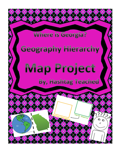
This worksheet allows students to cut out the bottom portion with the four images of Georgia, Unites States, North America, and the Western Hemisphere and see the relationship between them. Students will then glue each image in the spaces provided on top. This easy and fun worksheet allows students to connect difficult concepts in a visual hands-on way. It can be easily adapted as independent work, a hook, group work or homework. Students will enjoy engage with this interactive project and will build conceptual understanding of geography while doing so!
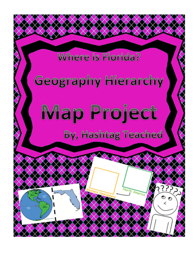
This worksheet allows students to cut out the bottom portion with the four images of Florida, Unites States, North America, and the Western Hemisphere and see the relationship between them. Students will then glue each image in the spaces provided on top. This easy and fun worksheet allows students to connect difficult concepts in a visual hands-on way. It can be easily adapted as independent work, a hook, group work or homework. Students will enjoy engage with this interactive project and will build conceptual understanding of geography while doing so!
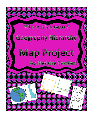
This worksheet allows students to cut out the bottom portion with the four images of Delaware, Unites States, North America, and the Western Hemisphere and see the relationship between them. Students will then glue each image in the spaces provided on top. This easy and fun worksheet allows students to connect difficult concepts in a visual hands-on way. It can be easily adapted as independent work, a hook, group work or homework. Students will enjoy engage with this interactive project and will build conceptual understanding of geography while doing so!
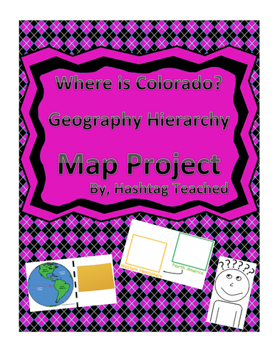
This worksheet allows students to cut out the bottom portion with the four images of Colorado, Unites States, North America, and the Western Hemisphere and see the relationship between them. Students will then glue each image in the spaces provided on top. This easy and fun worksheet allows students to connect difficult concepts in a visual hands-on way. It can be easily adapted as independent work, a hook, group work or homework. Students will enjoy engage with this interactive project and will build conceptual understanding of geography while doing so!
This worksheet allows students to cut out the bottom portion with the four images of Colorado, Unites States, North America, and the Western Hemisphere and see the relationship between them. Students will then glue each image in the spaces provided on top. This easy and fun worksheet allows students to connect difficult concepts in a visual hands-on way. It can be easily adapted as independent work, a hook, group work or homework. Students will enjoy engage with this interactive project and will build conceptual understanding of geography while doing so!
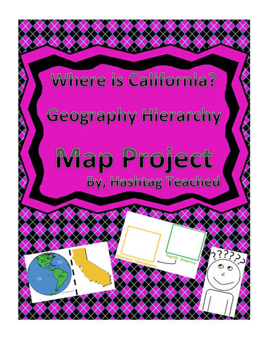
This worksheet allows students to cut out the bottom portion with the four images of California, Unites States, North America, and the Western Hemisphere and see the relationship between them. Students will then glue each image in the spaces provided on top. This easy and fun worksheet allows students to connect difficult concepts in a visual hands-on way. It can be easily adapted as independent work, a hook, group work or homework. Students will enjoy engage with this interactive project and will build conceptual understanding of geography while doing so!
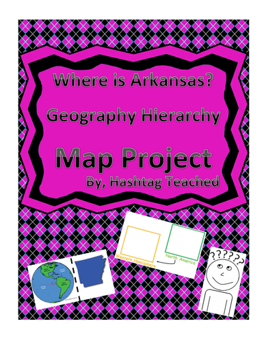
This worksheet allows students to cut out the bottom portion with the four images of Arkansas, Unites States, North America, and the Western Hemisphere and see the relationship between them. Students will then glue each image in the spaces provided on top. This easy and fun worksheet allows students to connect difficult concepts in a visual hands-on way. It can be easily adapted as independent work, a hook, group work or homework. Students will enjoy engage with this interactive project and will build conceptual understanding of geography while doing so!
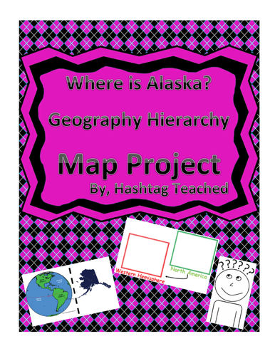
This worksheet allows students to cut out the bottom portion with the four images of Alaska, Unites States, North America, and the Western Hemisphere and see the relationship between them. Students will then glue each image in the spaces provided on top. This easy and fun worksheet allows students to connect difficult concepts in a visual hands-on way. It can be easily adapted as independent work, a hook, group work or homework. Students will enjoy engage with this interactive project and will build conceptual understanding of geography while doing so!
This worksheet allows students to cut out the bottom portion with the four images of Alaska, Unites States, North America, and the Western Hemisphere and see the relationship between them. Students will then glue each image in the spaces provided on top. This easy and fun worksheet allows students to connect difficult concepts in a visual hands-on way. It can be easily adapted as independent work, a hook, group work or homework. Students will enjoy engage with this interactive project and will build conceptual understanding of geography while doing so!
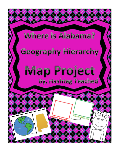
This worksheet allows students to cut out the bottom portion with the four images of Alabama, Unites States, North America, and the Western Hemisphere and see the relationship between them. Students will then glue each image in the spaces provided on top. This easy and fun worksheet allows students to connect difficult concepts in a visual hands-on way. It can be easily adapted as independent work, a hook, group work or homework. Students will enjoy engage with this interactive project and will build conceptual understanding of geography while doing so!
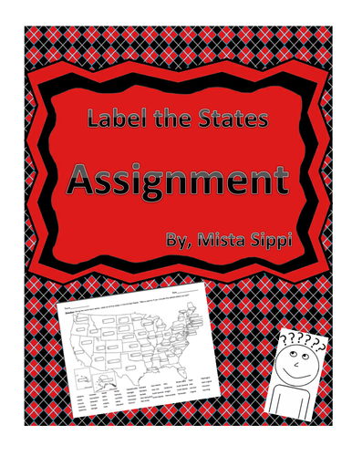
This simple worksheet requires students label each state. An answer key is included and an added bonus is included if the students know the abbreviations! Can easily be used for group work, independent work, assessments, homework, and more!
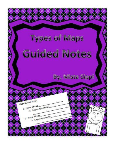
This simple to follow worksheet allows students to have a structured worksheet to follow along with learning about four different types of maps. The worksheet is highly customizable but lays a nice foundation for teachers and students to adjust to their own thinking.