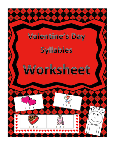
This fun and simple worksheet is comprised of 10 images in which students will identify the image and then decide how many syllables are in each word. The images range from 1-3 syllables. This worksheet can easily be used for whole-group, independent work, homework, assessments and more!
RF.K.2, RF.K.2a, RF.K.2b, RF.K.2d, RF.1.2, RF.1.2b, RF.1.2d, RF.2.3, RF.2.4
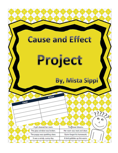
This really simple and fun activity requires students to cut out each sentence fragment from the bottom and then glue the cause and effect in the boxes above. Students will love interacting with the content in a hands on manner!
L.2.3, L.3.3, L.4.3
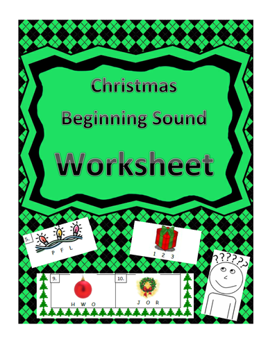
This fun and well-designed worksheet is comprised for 10 different images where students will be responsible to identify those images and then choose one of three letters that makes the same beginning sound. Students will develop their phonemic awareness while following the theme of the topic.
RF.K.1, RF.K.1d, RF.K.2d, RF.1.2, RF.1.2c, RF.1.2d
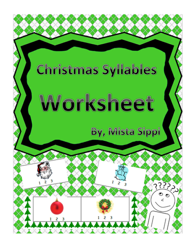
This fun and simple worksheet is comprised of 10 images in which students will identify the image and then decide how many syllables are in each word. The images range from 1-3 syllables. This worksheet can easily be used for whole-group, independent work, homework, assessments and more!
RF.K.2a, RF.K.2b, RF.K.2d, RF.1.2, RF.1.2b, RF.1.2d, RF.2.3, RF.2.4
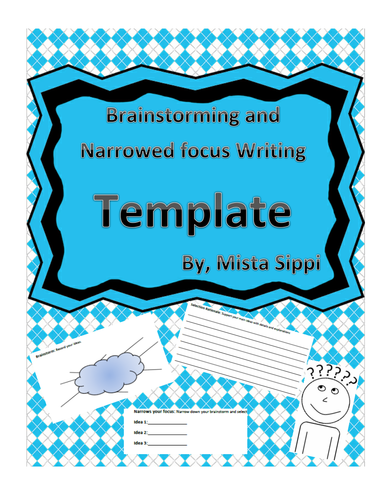
This three part template includes a brainstorming web for students to think through the prompt, narrow their focus to three main ideas, and then start the drafting process with supporting details and explanations of their narrowed focus.
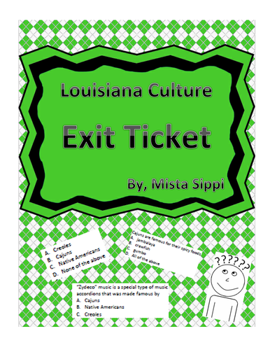
This five question multiple choice exit ticket is a quick snapshot for teacher to assess the information students attained about Louisiana culture. The assessment covers Cajuns, Creoles, Zydeco music, gumbo, jambalaya, Native Americans and more. This Exit Ticket goes well with my Louisiana Culture Guided Notes/Independent work as well!
Check out my Louisiana Cultures Group Project and my Louisiana Cultures Guided Notes and Independent Notes.
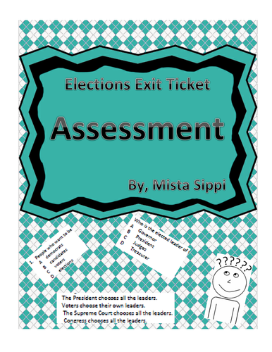
This quick five question multiple choice exit ticket assessments allows students to show what they learned about elections. The ET covers topics and vocabulary including voters, citizens, candidates, elections, ballots, campaigning and more.
This simple five question exit ticket assessment covers pitch and volume and has a variety of multiple choice, fill in the blank and short answer. Students will have to give an example of a high pitch and low pitch as well as understand what causes the difference.
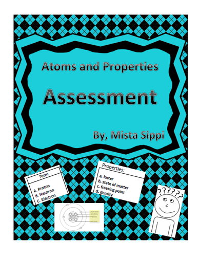
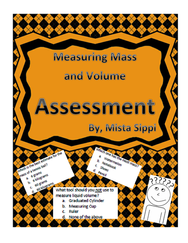
This assessment can be used as a quiz, test, or study guide. It covers parts of an atom including nucleus, protons, electrons, neutrons and more; it also covers topics about physical and chemical changes. There is a variety of matching, multiple choice and draw and labeling.
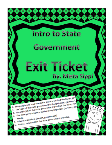
This is an extremely simply Exit ticket with six questions that are either/or choices and one fill in the blank. This assessment serves to get a quick snapshot of where students are and their initial attainment of topics about the state government, services, leaders, and roles.
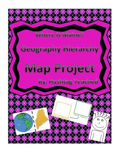
This worksheet allows students to cut out the bottom portion with the four images of Maine, Unites States, North America, and the Western Hemisphere and see the relationship between them. Students will then glue each image in the spaces provided on top. This easy and fun worksheet allows students to connect difficult concepts in a visual hands-on way. It can be easily adapted as independent work, a hook, group work or homework. Students will enjoy engage with this interactive project and will build conceptual understanding of geography while doing so!
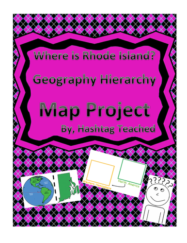
This worksheet allows students to cut out the bottom portion with the four images of Rhode Island, Unites States, North America, and the Western Hemisphere and see the relationship between them. Students will then glue each image in the spaces provided on top. This easy and fun worksheet allows students to connect difficult concepts in a visual hands-on way. It can be easily adapted as independent work, a hook, group work or homework. Students will enjoy engage with this interactive project and will build conceptual understanding of geography while doing so!
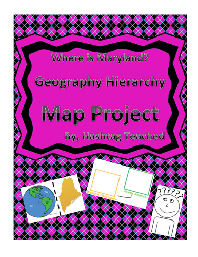
This worksheet allows students to cut out the bottom portion with the four images of Maryland, Unites States, North America, and the Western Hemisphere and see the relationship between them. Students will then glue each image in the spaces provided on top. This easy and fun worksheet allows students to connect difficult concepts in a visual hands-on way. It can be easily adapted as independent work, a hook, group work or homework. Students will enjoy engage with this interactive project and will build conceptual understanding of geography while doing so!
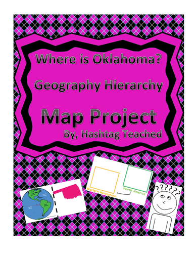
This worksheet allows students to cut out the bottom portion with the four images of Oklahoma, Unites States, North America, and the Western Hemisphere and see the relationship between them. Students will then glue each image in the spaces provided on top. This easy and fun worksheet allows students to connect difficult concepts in a visual hands-on way. It can be easily adapted as independent work, a hook, group work or homework. Students will enjoy engage with this interactive project and will build conceptual understanding of geography while doing so!
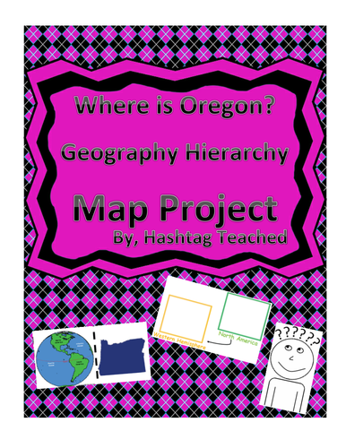
This worksheet allows students to cut out the bottom portion with the four images of Oregon, Unites States, North America, and the Western Hemisphere and see the relationship between them. Students will then glue each image in the spaces provided on top. This easy and fun worksheet allows students to connect difficult concepts in a visual hands-on way. It can be easily adapted as independent work, a hook, group work or homework. Students will enjoy engage with this interactive project and will build conceptual understanding of geography while doing so!
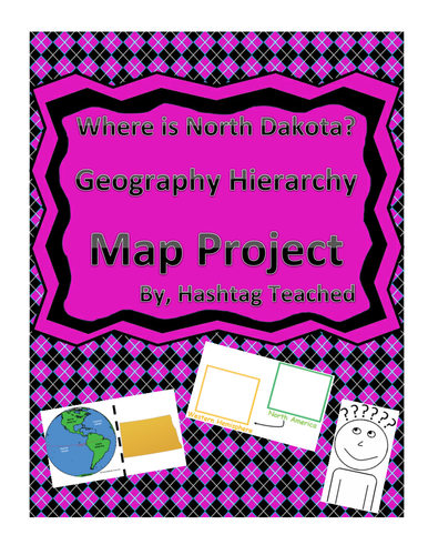
This worksheet allows students to cut out the bottom portion with the four images of North Dakota, Unites States, North America, and the Western Hemisphere and see the relationship between them. Students will then glue each image in the spaces provided on top. This easy and fun worksheet allows students to connect difficult concepts in a visual hands-on way. It can be easily adapted as independent work, a hook, group work or homework. Students will enjoy engage with this interactive project and will build conceptual understanding of geography while doing so!
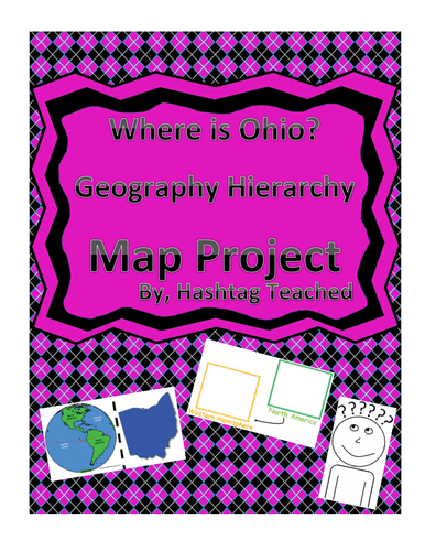
This worksheet allows students to cut out the bottom portion with the four images of Ohio, Unites States, North America, and the Western Hemisphere and see the relationship between them. Students will then glue each image in the spaces provided on top. This easy and fun worksheet allows students to connect difficult concepts in a visual hands-on way. It can be easily adapted as independent work, a hook, group work or homework. Students will enjoy engage with this interactive project and will build conceptual understanding of geography while doing so!
This worksheet allows students to cut out the bottom portion with the four images of Minnesota, Unites States, North America, and the Western Hemisphere and see the relationship between them. Students will then glue each image in the spaces provided on top. This easy and fun worksheet allows students to connect difficult concepts in a visual hands-on way. It can be easily adapted as independent work, a hook, group work or homework. Students will enjoy engage with this interactive project and will build conceptual understanding of geography while doing so!
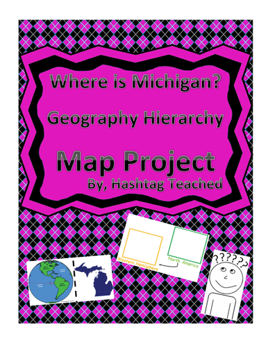
This worksheet allows students to cut out the bottom portion with the four images of Michigan, Unites States, North America, and the Western Hemisphere and see the relationship between them. Students will then glue each image in the spaces provided on top. This easy and fun worksheet allows students to connect difficult concepts in a visual hands-on way. It can be easily adapted as independent work, a hook, group work or homework. Students will enjoy engage with this interactive project and will build conceptual understanding of geography while doing so!