29Uploads
16k+Views
649Downloads
Geography

A LEVEL GEOGRAPHY EARTHS STRUCTURE AND TECTONIC PLATE EVIDENCE
Easy to follow PowerPoint Presentation (in a print friendly format), perfect for GCSE, A-Level and first year university students.
Includes information on STRUCTURE OF EARTH, TYPES OF CRUST, CONVECTION CURRENTS...
Also includes detailed notes on EVIDENCE FOR PLATE TECTONICS (including Wegner's theory, paleo magnetism and ocean-floor spreading).
Great as a revision resource with coloured notes, tables and diagrams.

A LEVEL GEOGRAPHY FORMATION OF EARTHQUAKE/ SEISMIC WAVES
Easy to follow PowerPoint Presentation (in a print friendly format), perfect for GCSE, A-Level and first year university students.
Includes notes on DIFFERENT SEISMIC WAVES, FORMATION OF EARTHQUAKES and the RICHTER/MERCALLI SCALE. Includes diagrams and tables for easy revision aid.

A LEVEL GEOGRAPHY URBAN CLIMATE NOTES
Easy to follow PowerPoint Presentation (in a print friendly format), perfect for GCSE, A-Level and first year university students. GREAT as a revision resource - detailed enough to achieve A*.
Consists of:
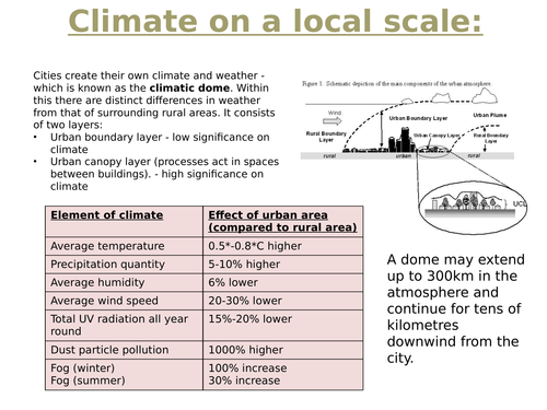
A definition and a description of the characteristics of urban climate i.e. climatic dome and layers.
A statistical comparison between urban climate and rural climates.
Explanation of the urban heat island effect in terms of both temperature and precipitation.
A detailed analysis of urban air quality.
Urban pollution reduction policies.
Great for answering exam questions as the resource is full of useful information, in an easy-to-follow format. The resource helped me achieve A* at a-level - so is perfect for geography students.

A LEVEL GEOGRAPHY PLATE BOUNDARIES AND LANDFORMS NOTES
Easy to follow PowerPoint Presentation (in a print friendly format), perfect for GCSE, A-Level and first year university students.
Includes notes on CONSTRUCTIVE, CONSERVATIVE AND DESTRUCTIVE plate margins, with DETAILED EXPLANATIONS ON ASSOCIATED LANDFORMS. Landforms include: fold mountains, island arcs, volcanic eruptions, mid-ocean ridges, sub-marine volcanoes and rift valleys. Examples of each landform are included too.
Each landform is provided a slide, with diagrams, step by step explanations and geographical key words. GREAT AS A REVISION RESOURCE FOR EXAM QUESTIONS.

GEOGRAPHY A LEVEL TSUNAMI, EARTHQUAKE AND VOLCANO CASE STUDIES
Easy to follow PowerPoint presentations (in print friendly format) PERFECT for GCSE, A-level and first year university students.
Includes CAUSES, IMPACTS AND RESPONSES to Haiti 2010 earthquake and L'Aquila (Italy) 2009 earthquake. Includes CAUSES, PRIMARY /SECONDARY IMPACTS AND RESPONSE/MANAGEMENT to Japan 2011 and Indian Ocean/Boxing Day (2004) tsunami. Includes CAUSES/PREDICTION, IMPACTS AND RESPONSE/MANAGEMENT to Mt. Pinatubo (1991) and Mt Etna (2002/2003) eruption.
...with FACTS, STATISTICS AND GEOGRAPHICAL TERMINOLOGY. Impacts are also categorised into primary/secondary and social, economic and environmental.
Great for answering exam questions as the resource is full of useful information, in an easy-to-follow format. The resource helped me achieve A* at a-level - so is perfect for geography students.
Bundle

Tectonic Hazards
A complete overview of the typical Plate Tectonic and Tectonic Hazards module in physical geography.
Contains excellent detail with key words and graphics to demonstrate processes, landform creation and characteristic features of landforms, processes and events.
The bundle is packed with case study material covering both MEDCs and LEDCs for volcanoes, earthquakes and tsunamis. All case studies contain locational information, causes, impacts and responses with statistics and exam style facts.
Information is presented as PowerPoints which are created in a print-friendly format - so can be used effectively in multiple ways.
Information is in depth enough to support A* pupils!


