37Uploads
69k+Views
47k+Downloads
Geography

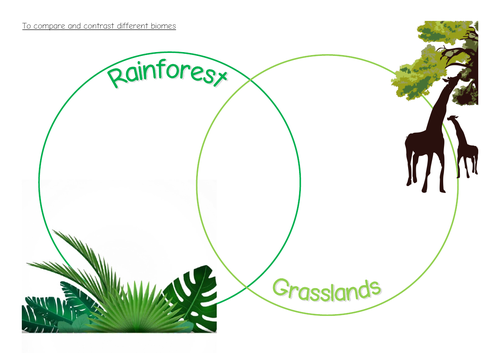
KS2 Biome activies
A couple of activity sheets used in KS2 when exploring and comparing biomes around the world.

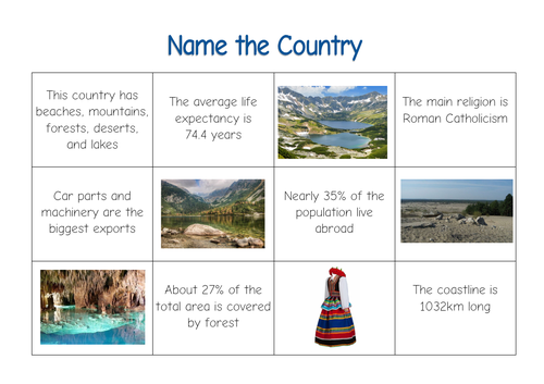
Geographical Enquiry - name the country
Included are five sets of cards, each describing a different country (Poland, Finland, Cuba, France and Romania)
Each set contains facts about the human and physical geography of each country, as well as photos of a variety of locations.
I use this as a starting activity to get children thinking about different countries around the world. They need to use their existing knowledge and atlases to identify the country.

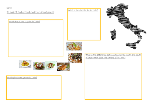
Geography Italian food, agriculture, weather
A powerpoint and worksheet used as part of a topic on Italy/Romans, looking at the links between food, farming and climate. Children are asked to explore what the popular foods in Italy tell us about agriculture and climate.
Originally used in Year 4, but could be used with slightly older or younger children.

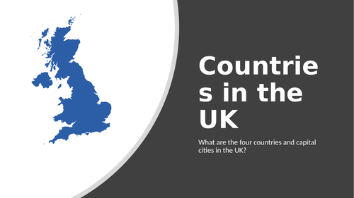
KS1 geography UK countries
A lesson used with Year 2 to introduce the four countries within the UK. There are also two different worksheet options to complete.
Originally, the children followed this up by researching one country each and making a poster of it to present back to the class.

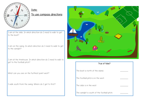
KS1 compass directions
A simple worksheet used in continuous provision to practice using the directions of a compass.

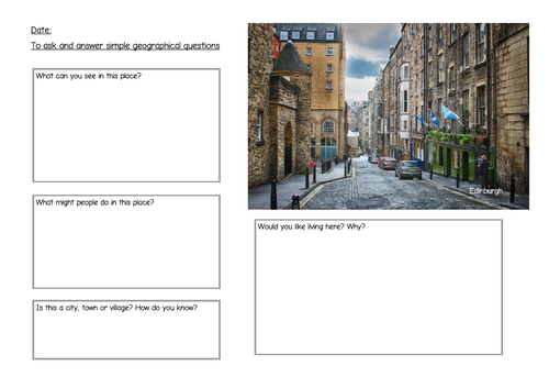
KS1 geographical enquiry
A series of worksheets to be used for geographical inquiry with KS1. It asks children to identify features of a place, and suggest what it might be like to live there. Links also to work on city/town/village.
I originally used this as a continuous provision activity, but it could easily be part of a lesson.

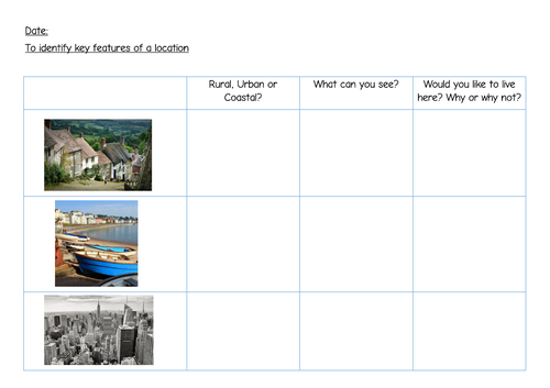
KS1 rural urban coastal
A PowerPoint and associated activities used during an “Our World” topic to introduce the concept of coastal, rural and urban.

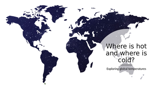
KS1 Equator and poles
A lesson introduction and activities used with a year 2 class to explore the temperature of different parts of the globe.
Introduces the idea of poles, as well as the Equator. The two different activities both relate to temperature - one asks children to make the varying temperatures on a world map; the other looks at animals in hot and cold environments.
This could link to science and habitats.

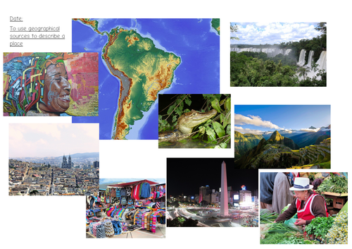
KS2 geographical enquiry South America
Originally used with Y4/5, this is a lesson prompt and two worksheets asking children to use a range of geographical images to describe a place.
The prompt sheet contains photos of places, wildlife and maps from various places in South America.

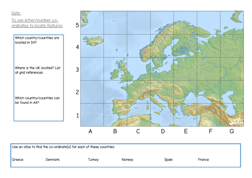
KS1/2 Map skills - grid references
A simple worksheet previously used in Y2/Y3 to explore grid references on maps.
Children locate countries within the grid reference on a European map. Could be used as continuous provision/independent work following other lessons.

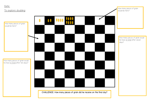
KS2 Doubling -Exponential growth
An lesson based on the traditional Indian tail of Sissa-ben-Dahir. This looks at the concept of exponential growth through doubling.
Children are introduced to the topic through the powerpoint, and then explore doubling using the game of chess.
I have used this across KS2, but this could also be used in other age ranges

Comparing European countries (Italy, UK, Poland)
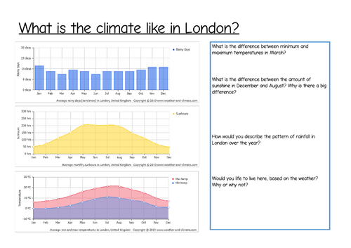
A set of activities/worksheets to compare and contrast weather and climate in Italy, Poland and the UK. This involves interpretation of graphs and charts, some statistical work comparing data, as well as general geographical comparison and inquiry.
There are two sheets that compare Rome/UK, which would also fit into a topic on the Romans.

European geographical enquiry (Italy, Poland, UK, Norway)
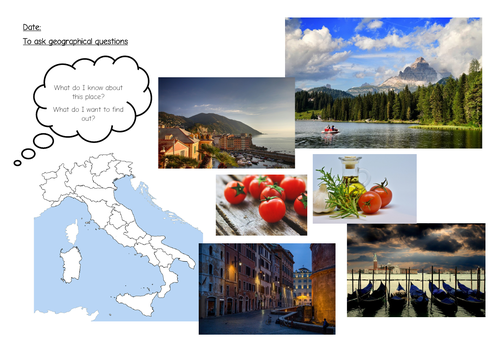
A set of picture prompts (buildings, countryside, maps, food etc) to prompt geographical inquiry about different countries in Europe. Originally this was used as a geography skills lesson, but this could be incorporated into a wider topic on Italy, Europe, Poland or the UK.
Two sets of documents enclosed - one is just picture prompts for initial discussion. The second set enables pupils to share their responses (worksheets).

Geographical Enquiry - KS2 Romans
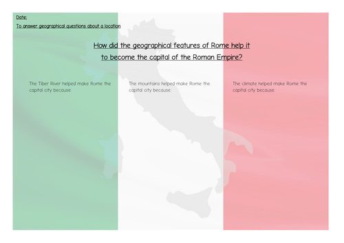
This is a lesson used to explore the question, “Why did Rome become the capital of the Empire?” It has links both to geography and history, and would be ideally suited to a topic on the Romans or on Italy the country.
Originally I used this in KS2. The main skills focus is on exploring how the physical features of a place affect human activity and economic growth.

