20Uploads
5k+Views
3k+Downloads
Geography

Countries in the UK
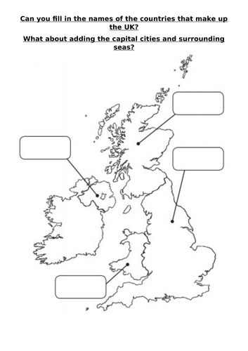
KS1 / Year 2 Geography activity for children to investigate the 4 countries that make up the UK. Includes lego images, map labels and colour the flag worksheet.

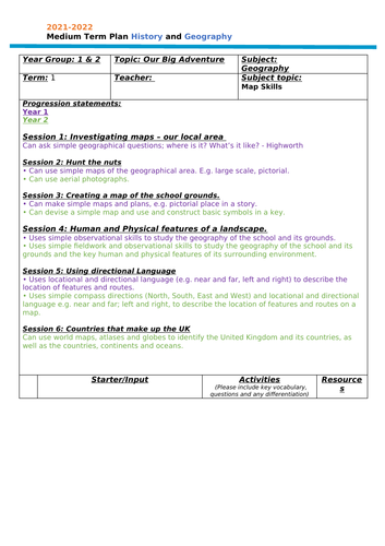
Geography KS1 Mapping planning
Medium Term Planning for Map work Geography for KS1 children.
Mixed class planning Year 1 and 2.

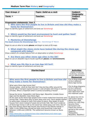
Stone Age Geography Medium Term Planning
6 lessons and resources (activinsprire flipchart) suitable for year 3 or 4.
covering the following outcomes:
Progression statements:
Who were the first people to live in Britain and how did they make a home for themselves?
Begin to identify types of settlement and land use Stonehenge
Which would be the best environment to hunt and gather food?
Begin to identify types of settlement and land use Stonehenge
Mysteries of Stonehenge
Pre teach lesson for Stonehenge Trip Trip –
Begin to use an atlas to locate places and begin to look at OS maps
What might the stone circle have looked like during the stone age compared with today?
Draw a sketch of a simple feature from an observation or photo Stonehenge
Are there any other stone age sites in the UK?
Begin to use an atlas/OS map to locate significant places and environments.
What was life like in an Iron Age hill fort?
Begin to identify types of settlement and land use


