4Uploads
5k+Views
3k+Downloads
Geography

Why is Mount Everest so tall?
Students will (1) Label countries around the Himalayas, (2) Draw and label the Indian Tectonic Plate, (3) Show the movements of the plates, (4) Draw icons to show where the Himalayas are, (5) draw a diagram of a convergent plate boundary, and (6) explain in their own words how convergent plate boundaries create mountains.
Slideshow and answer sheet included.

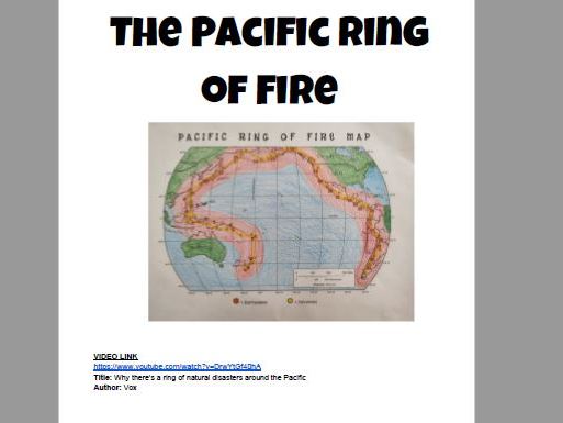
Pacific Ring of Fire Join the Dots worksheet
Students connect numbers and letters on a map to show the ring of earthquakes and volcanoes around the Pacific. Students also watch a short video (link included) and complete a basic worksheet based on the video.
Example and answer sheet included.


