Hero image

KS2 Teaching Resources & Materials.

Average Rating2.94
(based on 44 reviews)

A range of high quality resources to enhance the teaching and learning at KS2 & KS3 level (age 7-14). Welsh second Language, National test revision and numeracy / literacy activities taught across the curriculum are our specialty :)

149Uploads

144k+Views

28k+Downloads

A range of high quality resources to enhance the teaching and learning at KS2 & KS3 level (age 7-14). Welsh second Language, National test revision and numeracy / literacy activities taught across the curriculum are our specialty :)
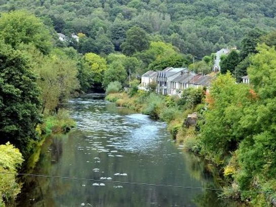
Rivers in Wales - Welsh Rivers Atlas & Map Labeling Activity. KS2/3  focus - 3 Differentiated groups
hifisherhifisher

Rivers in Wales - Welsh Rivers Atlas & Map Labeling Activity. KS2/3 focus - 3 Differentiated groups

(0)
Learners use research materials to label the maps of Wales with the main rivers and areas of population. Geography / topic task - Atlases or internet access required. 3 Levels of differentiation: BS (Lower) - Research and label the main rivers AA (Middle) - Research, draw and label the main rivers MAT (More able) - Research, draw and label the main rivers and towns/cities LO: To label the main rivers using atlases and research materials
Sporting event map of the world  KS2. Research and labelling task. World Cup, Olympics etc
hifisherhifisher

Sporting event map of the world KS2. Research and labelling task. World Cup, Olympics etc

(0)
Learners research sporting events across the world and label their findings on the large blank world map. e.g. Date, location and type of event. More able pupils could work out how many years ago each event took place. A partly completed sample map is and a list of Olympic dates are also included. For best results pupils should use A3 paper and shade using colours. LO: To use atlases and maps to locate countries that have hosted major sporting events.
WW2 Maths - Co-ordinates & Grid References. KS2 (Year 5&6) Cross Curricular Numeracy
hifisherhifisher

WW2 Maths - Co-ordinates & Grid References. KS2 (Year 5&6) Cross Curricular Numeracy

(1)
This cross-curricular presentation that requires pupils to work out the co-ordinates of locations on the WW2 map of Europe. It covers 4 and 6 figure grid references. There is a clever video link included with this resource to start the lesson. You could print out the maps for use in lessons, therefore some preparation is required in order to get the best results. There is an extension sheet provided in publisher format. LO: To use co-ordinates to specify location LO: To use grid references to specify location