15Uploads
63k+Views
53k+Downloads
Geography

Continents and Seas
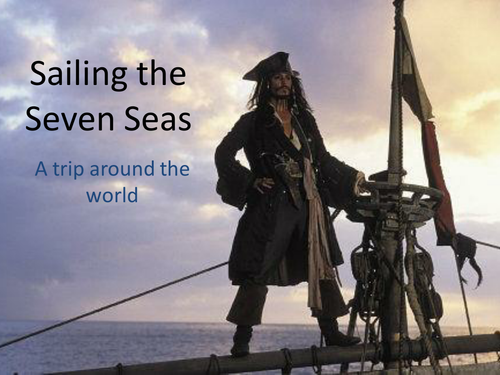
A Pirates of the Caribbean themed activity to map the continents, oceans and 3 seas. Students will need access to an atlas.

World Jigsaw
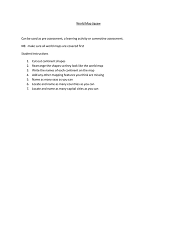
An activity which can be modified for all age groups. Provided is a publisher document which has 6 continents, to scale, chopped up and moved around. At a basic level, students need to cut these 6 up and glue them back down to look like a world map. From there, they could name the continents, seas, countries, capitals and add features, the equator etc. It could be used as all kinds of assessment or as a whacky Friday activity. It's very versatile!

Natural Landscapes Pictionary
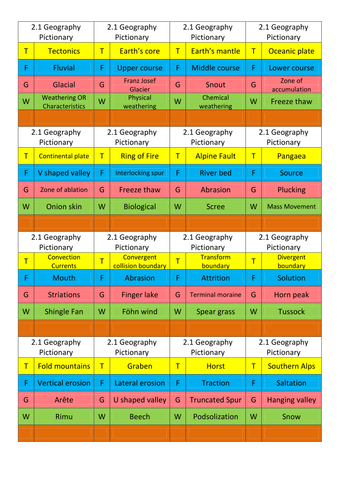
Pictionary cards for the NZQA 2.1 natural landscapes unit, specifically South Island High Country (SIHC). Categories are: tectonics, fluvial, glacial and weathering/characteristics and would probably transferable to other Geo units.
Otherwise, it's a useful template. Enjoy!

Mapping Skills Game - Tanzania
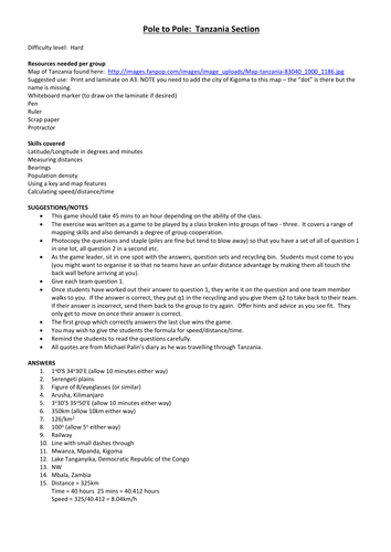
This game is based loosely on Michael Palin's experience in Tanzania while filming 'Pole to Pole'. Introduce by watching the first 5 mins of the YouTube clip. The quotes in the questions are from his diary.
I printed and laminated the attached map but you might have one suitable.
All instructions are on the Word Doc.
The game can be played as a race to last an hour. Students practice longitude and latitude, bearings, distance, population density, using a key, calculating speed/distance/time.
Please comment if you notice any errors or have suggestions.

Development inequalities staircase activity
This is a literacy/essay prep activity.
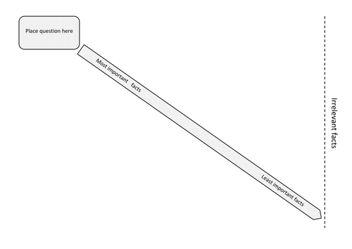
Print the template on A3 and the other sheet with small squares on A4. Give the students the A3 and one set of small squares. Students aim to answer the question and can manipulate the options along the line of importance until they are happy with the outcome. The goal is to get them to justify their reasoning.
From this point they could:
a) 3 to stay and 1 to stray to compare group answers and add depth to their knowledge.
b) Use their notes to add detail to their justification
c) Write a paragraph individually
d) Write a group essay

GIS Rock Art Lesson Plan
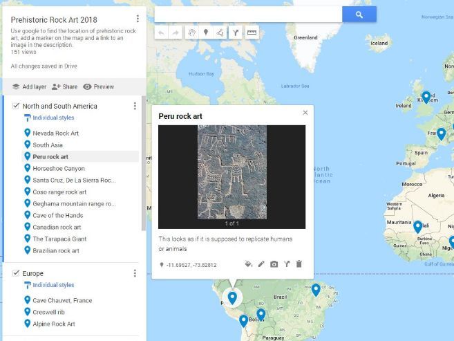
A collaborative lesson plan where the class works together to create a world map of Prehistoric Rock Art. Great to introduce them to GIS on Google Maps and an interesting topic to map. Students use Google Maps to locate examples of prehistoric rock art then “tour” the world comparing the different styles. Lesson plan includes how to set up Google Maps for a smooth lesson start.
This could be differentiated by providing students with examples of rock art to map, rather than getting them to research themselves.

Hemispheres Heads or Tails (Game)
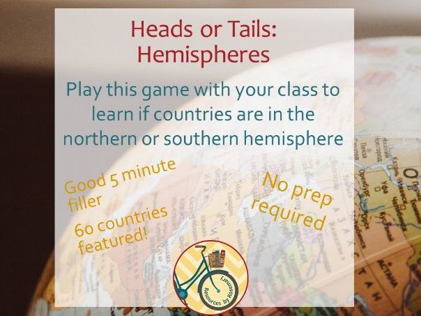
Five minute filler game to reinforce the northern and southern hemisphere. No prep required - only a projector needed to play! Great for competitive students.
The whole class plays at once and tests their knowledge if a country is in the northern or southern hemisphere. Great for the end of lessons or if you want to get the class on their feet.
Please give feedback so I know how to improve.

M&M Family Game
A fun board game using M&Ms to help understand how families have changed, why they have changed and the different ways families pass on culture and heritage.
Resource includes a printable A4 board, cards for the game, an instructional PowerPoint and worksheet.
Game is played in groups as small as 3 and as large as 6. Extra equipment needed: a die per group, a counter per person and 10-15 M&Ms per student.

