123Uploads
186k+Views
124k+Downloads
Geography
Scale - measuring tectonic activity
Earthquake and tectonic measurement. Clips added an activities to help students visually analyse disaster.
Location - MK, England, Europe and World
To help develop location knowledge on a variety of scales. Can change MK to local place is needed easily.
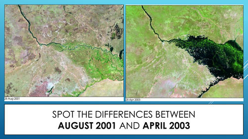
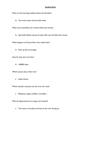
Zambezi flooding - mystery sorting
Zambezi mystery to discover the ways the river can be managed and why flooding can affect the farmers (mystery).


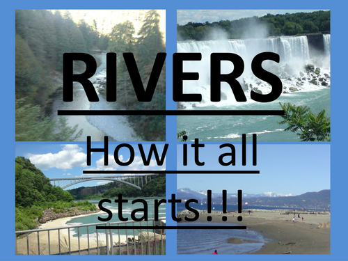
V-Shaped Valleys
rivers, v-shaped valleys, water. presentation on the features of the upper course of rivers and how they form