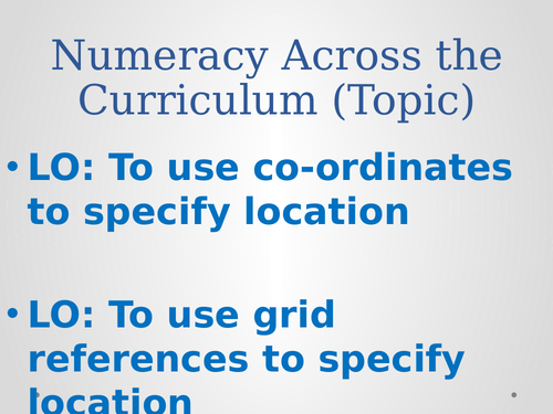


This cross-curricular presentation that requires pupils to work out the co-ordinates of locations on the WW2 map of Europe. It covers 4 and 6 figure grid references. There is a clever video link included with this resource to start the lesson.
You could print out the maps for use in lessons, therefore some preparation is required in order to get the best results. There is an extension sheet provided in publisher format.
LO: To use co-ordinates to specify location
LO: To use grid references to specify location
Something went wrong, please try again later.
Report this resourceto let us know if it violates our terms and conditions.
Our customer service team will review your report and will be in touch.
£3.99