201Uploads
511k+Views
601k+Downloads

UK and map skills 9 lesson series
A 9 lesson unit for the start of the year. Baseline test, global and national locational knowledge, UK and EU, GIS, map skills and end of unit assessment.
Lesson 1 and the SOL is at the bottom for some reason! :s

AQA Tourism - Importance of tourism/contribution to economy
13.2 - AQA GCSE Geog AImportance of tourism as a contribution to GDP. Dubai and Kenya case studies.

Africa physical features
Students complete an atlas scavenger hunt to identify and map physical features

Africa population distribution
Students produce a map to show population across Africa and link this to physical landscape and climate.

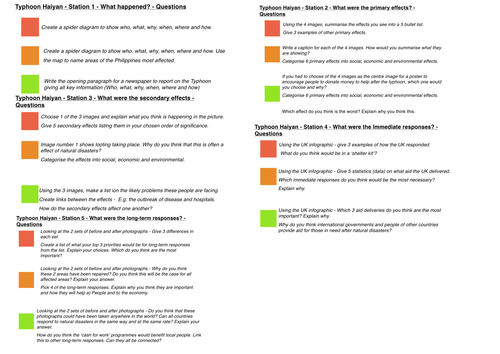
Typhoon Haiyan case study and exam application
2 lessons. In the first lesson students complete RAG questions at 5 stations in order to gather case study information. The 2nd lesson students complete exam questions, generating success criteria and self assessing against model answers.

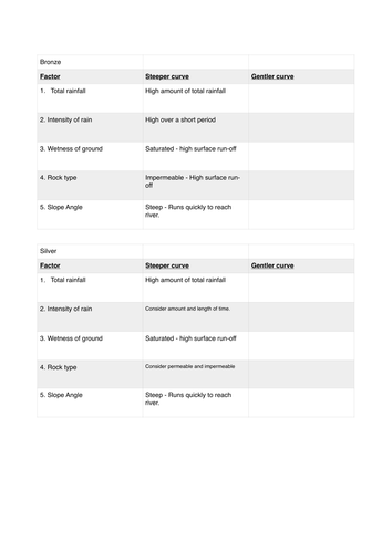
Flood hydrographs
Flood hydrographs lesson - drawing and analysing.
Based on resources from North West Regional Flooding Resource

Earthquake proof building construction
Students construct a building able to withstand an earthquake using the Sky Needle as an example.

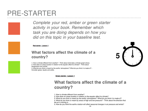
Global atmospheric circulation
A lesson for the start of Weather hazards unit - new AQA A spec. Students complete activities compare their exam question responses with model answers.

