Hero image

Global_Education_Leaders's Shop

Hello everyone! We are a couple of Primary Teachers interested in teaching inclusively and actively representing peoples and parts of the world which history has traditionally ignored. We are very keen to hear your feedback and suggestions about the products we currently offer and if you have any ideas please don't hesitate to get in touch!

161Uploads

16k+Views

935Downloads

Hello everyone! We are a couple of Primary Teachers interested in teaching inclusively and actively representing peoples and parts of the world which history has traditionally ignored. We are very keen to hear your feedback and suggestions about the products we currently offer and if you have any ideas please don't hesitate to get in touch!
Africa country cards (with Top Trump style facts) RANKED
Global_Education_LeadersGlobal_Education_Leaders

Africa country cards (with Top Trump style facts) RANKED

(0)
Full African country cards, with information about each country’s capital city, population, GDP, surface area and literacy rate (Top Trump style) 4 countries per page. used data from the World Bank, last updated in 2019. The countries are in alphabetical order, but each country contains the ranking within the continent.
Country Research Sheet
Global_Education_LeadersGlobal_Education_Leaders

Country Research Sheet

(0)
Excellent template to help children sum up their understanding about the country they are studying. Can be used in combination to the “Travel Poster”, to the “Postcard template”, to the “Travel brochure template” as well as with all the resources in the “Let’s visit…!” series, all available on the Global Education Leaders shop.
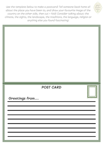
Postcard template
Global_Education_LeadersGlobal_Education_Leaders

Postcard template

(0)
Excellent template to help children sum up their understanding about the country they are studying. Can be used in combination to the “Travel Poster”, to the “Travel brochure template”, to the “country research sheet” as well as with all the resources in the “Let’s visit…!” series, all available on the Global Education Leaders shop.
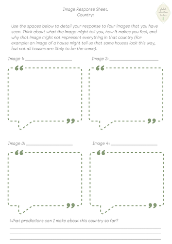
Image Response Sheet
Global_Education_LeadersGlobal_Education_Leaders

Image Response Sheet

(0)
Excellent template to help children explain how they feel in response images of different countries. Should be used in combination to all the resources in the “Let’s visit…!” series, all available on the Global Education Leaders shop.
Asia country cards set (Top Trumps style)
Global_Education_LeadersGlobal_Education_Leaders

Asia country cards set (Top Trumps style)

2 Resources
Two sets of full Asia country cards, with information about each country’s capital city, population, GDP, surface area and literacy rate (Top Trump style) 4 countries per page. used data from the World Bank, last updated in 2019. One resource contains the country cards without a ranking, and one resource contains the country cards with a continent ranking.
Europe country cards set (Top Trumps style)
Global_Education_LeadersGlobal_Education_Leaders

Europe country cards set (Top Trumps style)

2 Resources
Two sets of full European country cards, with information about each country’s capital city, population, GDP, surface area and literacy rate (Top Trump style) 4 countries per page. used data from the World Bank, last updated in 2019. One resource contains the country cards without a ranking, and one resource contains the country cards with a continent ranking.
North America country cards set (Top Trumps style)
Global_Education_LeadersGlobal_Education_Leaders

North America country cards set (Top Trumps style)

2 Resources
Two sets of full North American country cards, with information about each country’s capital city, population, GDP, surface area and literacy rate (Top Trump style) 4 countries per page. used data from the World Bank, last updated in 2019. One resource contains the country cards without a ranking, and one resource contains the country cards with a continent ranking.
South America country cards set (Top Trumps style)
Global_Education_LeadersGlobal_Education_Leaders

South America country cards set (Top Trumps style)

2 Resources
Two sets of full South America country cards, with information about each country’s capital city, population, GDP, surface area and literacy rate (Top Trump style) 4 countries per page. used data from the World Bank, last updated in 2019. One resource contains the country cards without a ranking, and one resource contains the country cards with a continent ranking.
Oceania country cards set (Top Trumps style)
Global_Education_LeadersGlobal_Education_Leaders

Oceania country cards set (Top Trumps style)

2 Resources
Two sets of full Oceania country cards, with information about each country’s capital city, population, GDP, surface area and literacy rate (Top Trump style) 4 countries per page. used data from the World Bank, last updated in 2019. One resource contains the country cards without a ranking, and one resource contains the country cards with a continent ranking.
WHOLE WORLD country cards (Top Trumps style)
Global_Education_LeadersGlobal_Education_Leaders

WHOLE WORLD country cards (Top Trumps style)

12 Resources
Country cards for all the countries in the world, on all continents. The bundle includes two sets of resources for EACH continent - one set of resources are the country cards without a ranking, and the other set of resources are the country cards with a continent ranking.
Africa country cards set (Top Trumps style)
Global_Education_LeadersGlobal_Education_Leaders

Africa country cards set (Top Trumps style)

2 Resources
Two sets of full African country cards, with information about each country’s capital city, population, GDP, surface area and literacy rate (Top Trump style) 4 countries per page. used data from the World Bank, last updated in 2019. One resource contains the country cards without a ranking, and one resource contains the country cards with a continent ranking.
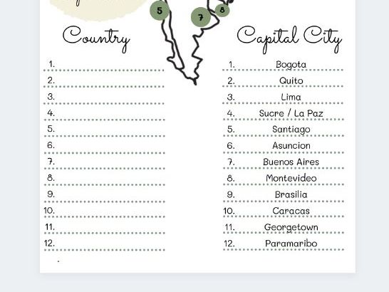
Continent challenge cards - South America
Global_Education_LeadersGlobal_Education_Leaders

Continent challenge cards - South America

(0)
Complete these cards by adding the name of the capital cities, and the continent. Then colour in the flag box, and add some colour to the letters that match to the flag! Complete the whole pack and learn about the amazing world we live in! Each card also contains a little fun fact about the country on the card, as well as the country’s location in the world.