4Uploads
4k+Views
3k+Downloads
Geography

UK map questions for KS1/KS2
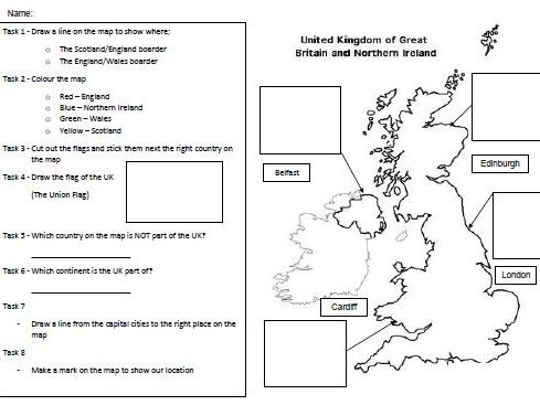
Short set of questions about the UK which include colouring, writing, drawing as well as cut and sick.
Pupils are asked to us the map to show their answers. There are eight tasks for this worksheet which include, draw lines to show where the boarders are, colour the four different countries to show which country is which, cut and sick 4 flags, draw the Union Flag, which country is not part of the UK, what continent is the UK part of, where are the capital cities and mark your own location.

