19Uploads
27k+Views
73k+Downloads
All resources

6 figure grid references - map skills - KS3 Geography
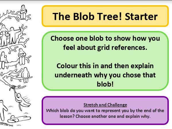
6 figure grid references
Can be used with any KS3 - particularly suitable for Y7
Normal lesson and LA lesson included.
Resources are towards the end of the powerpoint.
Please let me know how it goes by leaving a review or tagging me in a tweet :) @geoqueen

Speak Like a Geographer - Classroom Display - Geography
Speak Like a Geographer classroom display - inspired by others I had seen.
Hopefully it is useful!

Map Skills unit - 11 lessons - KS3 Geography
11 lessons based on map skills
Can be used with any KS3 - particularly suitable for Y7
Normal lesson and LA lesson included.
Resources are towards the end of the powerpoint.
Please let me know how it goes by leaving a review or tagging me in a tweet :) @geoqueen

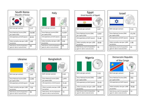
Development Top Trumps
Development Top Trumps with a front card and also a definition card
A range of HICs, LICs and NEEs.
Edited from another version I saw, but different development indicators used.

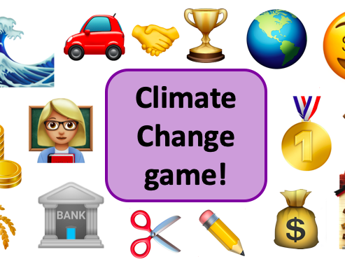
Climate Change Game KS3 Geography
Original resource created by user: JonathanEGullis
Instructions/Rules remain unedited.
Year 8 interactive lesson adapted for Geography on the themes of development, trade, energy types, climate change, global warming, etc. Could be used across KS3 or adapted for GCSE.
This lesson worked really well with my tricky Year 8 class, so hopefully this can help someone else too!

Geography Passport - first day of school activity - getting to know you - first lesson - ice breaker
A first day of school activity to get to know students, ice breaker activity.
Tailored to geography lessons but can be tailored to other subjects (have included word, pdf and PowerPoint files, whichever is easiest to edit).
Two can be printed per A4 page, just print double sided!

scale on a map - map skills - KS3 Geography
scale on a map lesson
Can be used with any KS3 - particularly suitable for Y7
Normal lesson and LA lesson included.
Resources are towards the end of the powerpoint.
Please let me know how it goes by leaving a review or tagging me in a tweet :) @geoqueen

GIS Activity - Index Multiple Deprivation - KS3 Geography
This was created for a Year 8 class to have a go at a GIS activity using ArcGIS online by ESRI.
The whole idea behind this is allowing KS3 students to create their own maps of the English Indices of Multiple Deprivation by comparing Birmingham to the local area surrounding their school - hopefully this can be adapted to your own needs. I thought it may be an easy way to introduce GIS to the classroom, as some may find it daunting.
ArcGIS online is free for schools through ESRI’s GIS4School’s initiative - if your school is not signed up then it’s literally a click away! https://schools.esriuk.com ESRI have loads of GIS resources available too.
I do not own the software, screenshots, or anything like that. I do not work for ESRI. I have had approval from a representative from ESRI UK Education who says it’s fine for me to put this resource out there for free to help others in the profession, if you make any changes or seek to share this resource then that’s fab! However if you’re thinking of editing the resource and then charging for it - you will need a license to do so (contact the ESRI UK Education Team for more info on this).

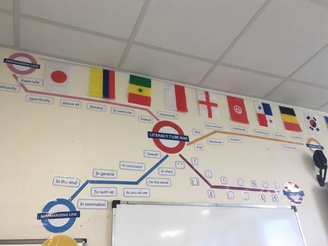
Literacy Tube Map Display - London Underground - Vocabulary
Literacy tube map display to encourage students to use different vocabulary.
Design similar to the London Underground Tube Map - colours the same as the various TfL routes/types.
Inspired by other TES users but design changes were made by me.
I do not own the roundel, that belongs to TfL (Transport for London).

Create your own country - map skills - KS3 Geography
Create your own country lesson
Can be used with any KS3 - particularly suitable for Y7
Normal lesson and LA lesson included.
Resources are towards the end of the powerpoint.
Please let me know how it goes by leaving a review or tagging me in a tweet :) @geoqueen

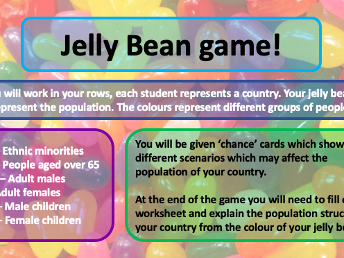
KS3 Jelly Bean Population Game
Y8 lesson based on the jelly baby/jelly bean population game!
Great way for students to understand how population changes over time and what influences it.
I used Jelly Beans from Tesco as they were vegetarian and we have many students from multicultural backgrounds with various dietary requirements!

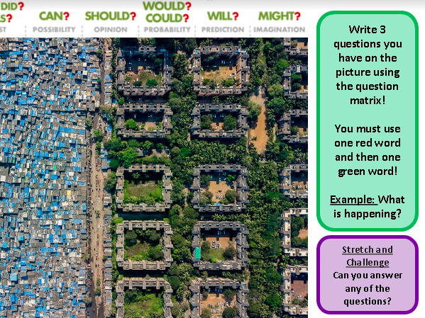
Interpreting maps and photos - map skills - KS3 Geography
interpreting maps and photos lesson (part 1)
Can be used with any KS3 - particularly suitable for Y7
Normal lesson and LA lesson included.
Resources are towards the end of the powerpoint.
Please let me know how it goes by leaving a review or tagging me in a tweet :) @geoqueen

Relief - shape of the land - map skills - KS3 Geography
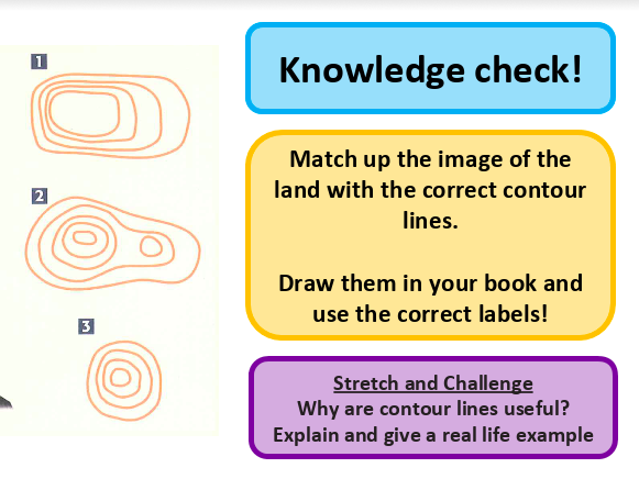
Relief on a map lesson
Can be used with any KS3 - particularly suitable for Y7
Normal lesson and LA lesson included.
Resources are towards the end of the powerpoint.
Please let me know how it goes by leaving a review or tagging me in a tweet :) @geoqueen

Interpreting maps and photos (2) - map skills - KS3 Geography
interpreting maps and photos lesson (part 2)
Can be used with any KS3 - particularly suitable for Y7
Normal lesson and LA lesson included.
Resources are towards the end of the powerpoint.
Please let me know how it goes by leaving a review or tagging me in a tweet :) @geoqueen

UK Physical Features - map skills - KS3 Geography
UK Physical features lesson
Can be used with any KS3 - particularly suitable for Y7
Normal lesson and LA lesson included.
Resources are towards the end of the powerpoint.
Please let me know how it goes by leaving a review or tagging me in a tweet :) @geoqueen

UK Human features - map skills - KS3 Geography
UK Human features lesson
Can be used with any KS3 - particularly suitable for Y7
Normal lesson and LA lesson included.
Resources are towards the end of the powerpoint.
Please let me know how it goes by leaving a review or tagging me in a tweet :) @geoqueen

4 figure grid references - introduction to map skills - KS3 Geography
4 figure grid references
Can be used with any KS3 - particularly suitable for Y7
Normal lesson and LA lesson included.
Resources are towards the end of the powerpoint.
Please let me know how it goes by leaving a review or tagging me in a tweet :) @geoqueen

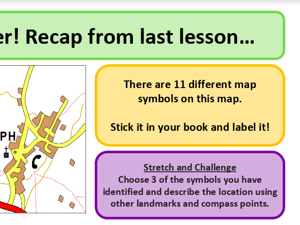
Map symbols - map skills - KS3 Geography
Map symbols lesson
Can be used with any KS3 - particularly suitable for Y7
Normal lesson and LA lesson included.
Resources are towards the end of the powerpoint.
Please let me know how it goes by leaving a review or tagging me in a tweet :) @geoqueen

What is a map? Introduction to map lesson - map skills KS3
Introduction to map skills lesson
Can be used with any KS3 - particularly suitable for Y7
Normal lesson and LA lesson included.
Resources are towards the end of the powerpoint.
Please let me know how it goes by leaving a review or tagging me in a tweet :) @geoqueen

