66Uploads
147k+Views
55k+Downloads
Geography

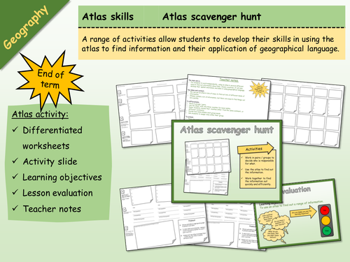
Geography - Atlas Scavenger Hunt 1
Whole lesson with instructions and teacher notes. Ideal for end of term.
The main aim is…
For students to work independently, using an atlas in several different ways to find out information about their chosen countries. It will also develop their spatial awareness, and skills in using geographical language.
Key ideas and content…
We can use an atlas in lots of ways, to find out lots of different kinds of information.
Atlases contain a lot of information, but there are ways to find things out very quickly.
Print in A3 - double sided.

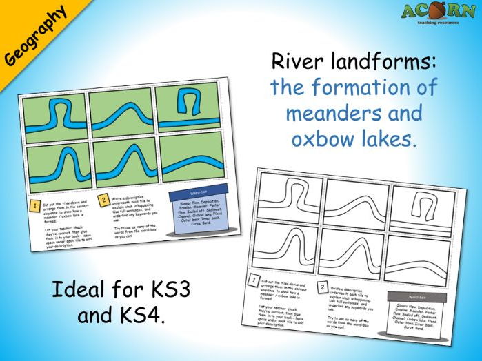
Geography - Meanders and oxbow lakes activity
Ideal for KS3 and KS4. Could be used to teach or consolidate.
Six tiles are jumbled up on the sheet - the students need to cut these out and arrange them in the correct sequence. The next task is to write a description underneath each tile - there is a word-box to help the students explain each stage. Prior knowledge / understanding will be needed to complete.
Could be used as a mystery – see if students can work out why the oxbow lake formed before you explain.
Two version are included; one in colour and one in outline black & white.
Every review we've had for a premium resource has been 5/5* (As of February 21st 2017)

Geography - push and pull factor card sort activity sheet
A migration themed push & pull factor card sort. Use in the teaching of migration / population / urbanisation. Two versions: colour code or cut-out. Answer sheet included.

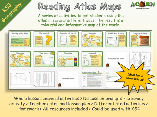
Geography - Reading Atlas Maps
*Requires an Atlas*
Originally aimed at KS3 but can be used with KS4. Ideal for cover, and getting to know groups. Gives lots of opportunity to talk about physical and human features around the world.
A series of activities to get students using the atlas in several different ways. The result is a colourful and informative map of the world.
Whole lesson: Several activities > Discussion prompts > Literacy activity > Teacher notes and lesson plan > Differentiated activities > Homework > All resources included > Could be used with KS4
The main aim is…
For students to use the atlas in several different ways to efficiently find information.
To complete a colourful and informative map of the world.
Every review we've had for a premium resource has been 5/5 (as of 2nd February 2017)

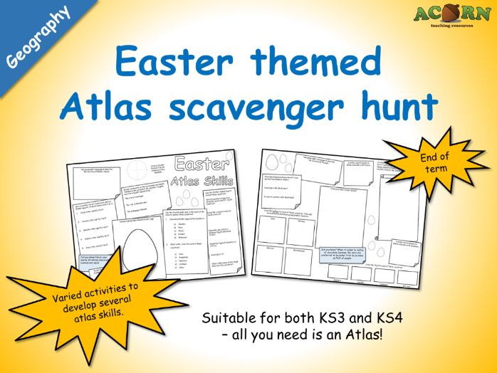
Geography - Easter Atlas Skills (scavenger hunt activity sheet)
Geography - Easter Atlas Skills (scavenger hunt activity sheet)
A double sided worksheet intended to use with pairs and small groups - all they need is an Atlas or two. Teacher notes are included with some suggestions. Basically, they are required to use an Atlas in several ways to find out a range of information (some of which is linked to Easter). There are a few other activities on the sheet (such as design an Easter egg).
Great for end of term activities, and will work with KS3 and KS4 students.
All reviews for our premium products have been 5/5* (As of February 21st 2017).

Urban issues and challenges - Factors affecting the rate of urbanisation
AQA Geography
Urban issues and challenges - Factors affecting the rate of urbanisation
A whole lesson (possibly a double) which teaches students how rural-urban migration, and natural increase, is driving rapid urbanisation in LIC’s and NEE’s.
There are a range of activities, and varied resources to aid in the teaching. A visual explainer has been included. All resources are ready to go.
Whole lesson > Key concept starter > Discussion prompts > Key ideas > Card sort > Photo analysis > Exam style questions > Class discussion > Learning evaluation > Summary activity > Homework > Lesson plan > Teacher notes > Fully resourced > Visually attractive and ready to teach!

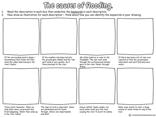
Geography - the causes of flooding worksheet
A simple activity to be included with teaching about the causes of flooding.
Students read the descriptions and draw a diagram for each one.
Ideal for lower ability groups.

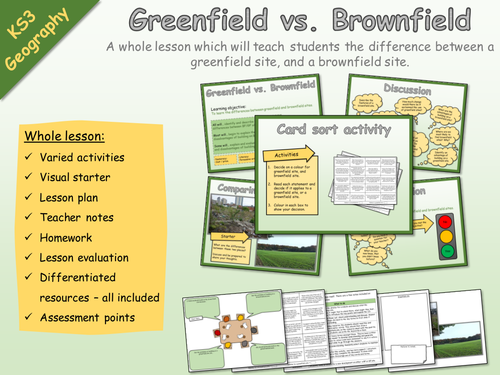
KS3 Geography - Settlement - Brownfield and greenfield sites
KS3 Geography - Settlement - Brownfield and greenfield sites
A whole lesson which will teach students the difference between a greenfield site, and a brownfield site.
Whole lesson:
Varied activities
Visual starter
Lesson plan
Teacher notes
Homework
Lesson evaluation
Differentiated resources – all included
Assessment points

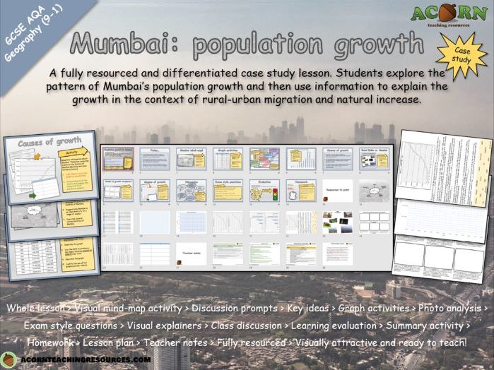
Urban issues and challenges - Mumbai (population growth)
GCSE Geography - Urban issues and challenges -Mumbai (population growth)
A fully resourced and differentiated case study lesson. Students explore the pattern of Mumbai’s population growth and then use information to explain the growth in the context of rural-urban migration and natural increase.
Whole lesson > Visual mind-map activity > Discussion prompts > Key ideas > Graph activities > Photo analysis > Exam style questions > Visual explainers > Class discussion > Learning evaluation > Summary activity > Homework > Lesson plan > Teacher notes > Fully resourced > Visually attractive and ready to teach!
The main aim is…
For students to describe the scale of population growth in their NEE case study of Mumbai.
To explain the growth (link to rural-urban migration and natural increase) specific to Mumbai.
To understand how rural-urban migration and natural increase are driving urbanisation in their city
Key ideas and content…
Rural – urban migration drives population growth
Population growth drives natural increase
Most migrants are young (natural increase)
Mumbai is a dominant and important city which attracts migrants (rural-urban migration)
The growth of Mumbai can be explained by a series of events in the history of the city
Rural-urban migration and natural increase are linked
NEE’s are likely to experience rapid urbanisation / population grown in cities because of their socio-economic contrasts
To differentiate…
Use the differentiated resources as appropriate.
Include discussion prompts and time the lesson accordingly
To extend…
Students can peer assess / improve their exam questions or photo analysis answers.
Change/adapt the exam style questions
Students can develop their own questions with mark schemes.
Higher ability should be given the opportunity to link the statements about Mumbai to one another
To assess…
The photo analysis offers some assessment opportunity if a focus is given to linking concept/theory to what’s happening in Mumbai
The line/bar graphs aren’t suitable in terms of content, however as a skill they could be assessed for accuracy
The exam style questions offer a summative assessment opportunity for the lesson.

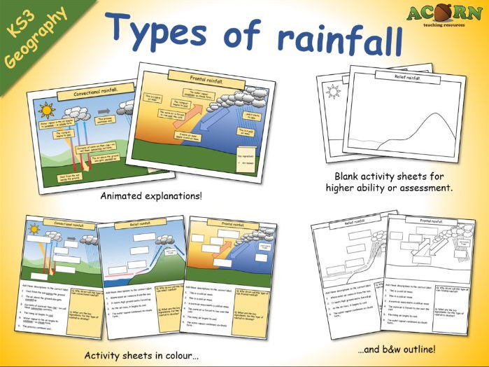
Types of rainfall (animations and activity sheets)
Types of rainfall (animations and activity sheets)
These are lesson elements intended to be used in the teaching of weather/climate and types of rainfall.
- Three colourful animations to introduce / teach convectional, frontal and relief rainfall.
- Three activity sheets with diagrams / written work.
- Three outline activity sheets which can be used with higher ability students, or to assess.
All reviews for our premium resources have been 5/5 (As of February 20th 2017)

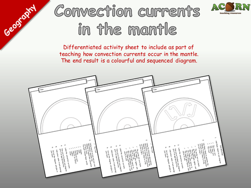
Geography - Natural hazards - Convection currents in the mantle
"Differentiated activity sheet to include as part of teaching how convection currents occur in the mantle. The end result is a colourful and sequenced diagram."
An activity requiring students to draw an annotated diagram to show how and why convection currents occur in the mantel.
The sheet has several activities built around this including; labeling the key features, adding arrows, explaining the processes, including a title and colouring it in.
There are three versions to suit higher, middle and lower ability groups / students.

Geography - Coasts - Erosion - Coastal Landforms
Three labelled PPT diagrams to include in a lesson, to help when teaching...
- Cliffs and wave cut platforms
- Caves, arches, stacks and stumps
- Headlands and bays
Three worksheets to help students learn or demonstrate understanding. The worksheets have several tasks to help the students complete the diagram and link it to the processes of erosion.
As of the 20th January, every single review we've had for a premium resource has been 5/5*

Measuring hurricanes
A range of activities with the aim of teaching students about the Saffir-Simpson hurricane wind scale.
Visually attractive, differentiated and fully resourced for a range of abilities.
Whole lesson: snappy starter, varied activities, key points, class discussion, assessment opportunities, a homework task and lesson evaluation. All resources included, along with lesson plan and teacher notes. This lesson has planned activities which show the teacher and the students their progress throughout.

The Geography of Autumn
The Geography of Autumn gives students the opportunity to explore the interaction between people & environment and the Autumn season.
Students will apply atlas skills and explore interactions including: Autumn tourism, the impacts of global warming, animal migrations and cultural celebrations.
This is a structured and visually attractive lesson where the outcome is an informative piece of display work or a booklet. There are several ways the work could be completed over a range of time scales.

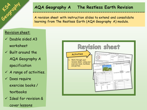
AQA Geography A - The Restless Earth - Revision Sheet
Double sided A3 revision sheet built around the AQA Geography A Restless Earth module.
The sheet is structured around the Key Ideas, and has a range of activities.
Essentially, they're just populating the sheet as a revision tool
Does require exercise books / internet / textbooks.
Ideal as module revision, exam revision or lesson cover.

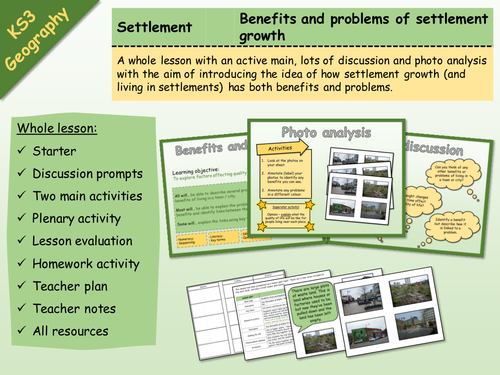
KS3 Geography - Settlement - Problems and benefits of settlement growth
Whole lesson with all resources included.
Learning objective: To explore factors affecting quality of life in large settlements.
Whole lesson:
Starter
Discussion prompts
Two main activities
Plenary activity
Lesson evaluation
Homework activity
Teacher plan
Teacher notes
All resources

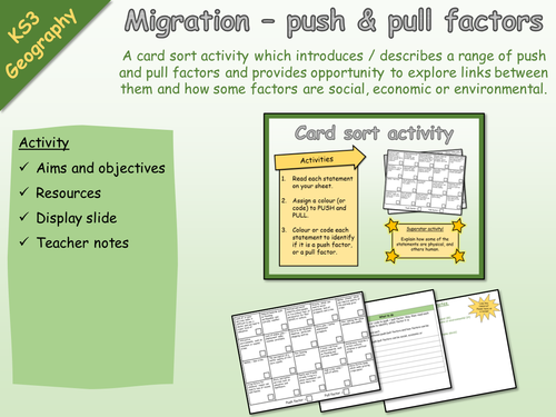
KS3 Geography - Activity - Migration - Push and pull factors
KS3 Geography - Activity - Migration - Push and pull factors
A card sort activity which introduces / describes a range of push and pull factors and provides opportunity to explore links between them and how some factors are social, economic or environmental.
Activity
Aims and objectives
Resources
Display slide
Teacher notes

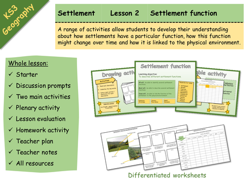
KS3 Geography - Settlement - 2 - Settlement function
Whole lesson with all resources included.
Learning objective: To describe different settlement functions.
A range of activities allow students to develop their understanding about how settlements have a particular function, how this function might change over time and how it is linked to the physical environment.
Whole lesson:
Starter
Discussion prompts
Two main activities
Plenary activity
Lesson evaluation
Homework activity
Teacher plan
Teacher notes
All resources - differentiated worksheets

