REACH OUT RESOURCESAverage Rating4.06(based on 84 reviews)Resources for Early Years up to Key Stage 4. All areas of the curriculum are covered. Edit shopAdd a resource
hayleyhillSCANDINAVIA - RESOURCES KS2-3 GEOGRAPHY MAP DENMARK ICELAND NORWAY FINLAND SWEDEN SWEDISH LANGUAGE (1)
hayleyhillTRAVEL AGENTS ROLE PLAY RESOURCES DISPLAY KEY STAGE 1-2 GEOGRAPHY HOLIDAYS COUNTRIES TRANSPORT (0)
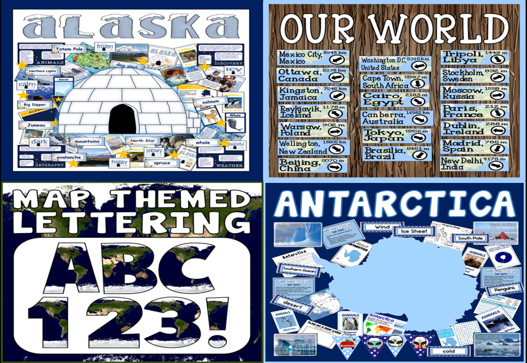
Bundlehayleyhill*BUNDLE* GEOGRAPHY ALASKA ANTARCTICA MAP LETTERING OUR WORLD DIRECTIONS SIGNPOSTS4 Resources
Bundlehayleyhill* SPORTS BUNDLE * OUTDOOR, SPORTS, OLYMPICS, WORLD CUP - PE THEORY, PHYSICAL EDUCATION, EXERCISE4 Resources