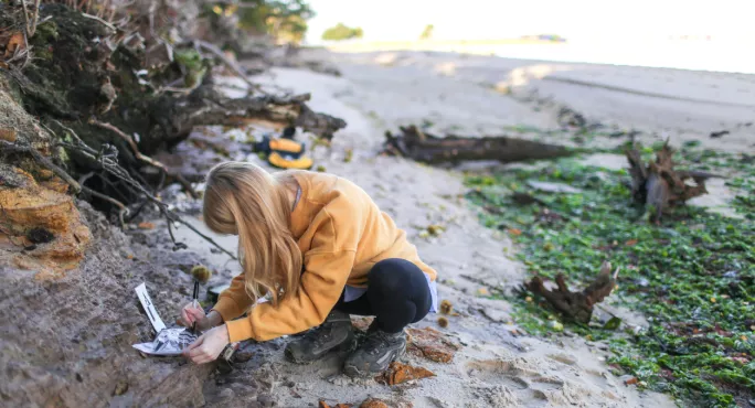
Could virtual reality field trips be the future of geography?

Virtual reality field trips could prove to be a vital resource for geography teachers and provide essential support for inexperienced staff, subject leaders have said.
Dr Des McDougall is leading a project developing virtual field trips that allow students to use computers, tablets or virtual reality headsets to see physical landforms at over a dozen locations. Destinations range from Yosemite National Park in the US to Snowdonia in Wales.
Dr McDougall, a physical geographer at the University of Worcester, believes that while the technology cannot replace genuine in-person fieldwork altogether, it allows teachers to show students landforms in places where they would never take them, in guaranteed good weather.
- GCSEs 2022: ‘Potential inequality’ with geography exams is ‘evident’
- Covid: Can geography field trips recover?
- Geography: Why teachers need to fight for field trips
The academic has been adding sites to the project - which is free to access - throughout the pandemic but is expanding it in the coming weeks by adding more locations.
He will also add the first guided field trip, which offers interpretation and guidance alongside the images, and could be used by newer teachers to boost their skills.
A new report published last month found that the introduction of such guided trips could be useful to early career teachers who lack fieldwork confidence.
One teacher who trialled the fieldwork with his class described it as a “fantastic resource” and said that emerging virtual technology could be “a way forward” in teaching the subject because of reduced opportunities for children to get out to sites in the wake of the pandemic.
But others have expressed concerns that senior leaders might just see the technology as a cost and time-efficient way of replacing real fieldwork, which is not Dr McDougall’s aim.
User experience
So what is it like to use the virtual reality technology? Dr McDougall said that a “slightly underwhelming” description is “Google street view, but with better quality images and in places where Google doesn’t go to”.
He said the technology can be useful to help students see sites outside of Europe, where travel is expensive and not an option, and to see landforms at points that would be unsafe to visit - such as mountain peaks. It also allows staff to examine terrain in advance of in-person trips, to help plan how best to approach routes with students with disabilities.
So should schools cancel their in-person field trips just yet?
No, Dr McDougall said. “This technology is not about replacing fieldwork, but it does raise the number of possible classroom activities. It’s high-quality imagery so you can see all the features of the landscape.
“I’ve got to be very careful with the wording but this is, in some ways, better than the real thing. You’ve got all the resources, you’ve got guarantees that the weather will work for the trip. In some ways, of course, it’s worse than the real thing as well. You can’t replicate the group dynamic of a real trip, you can’t do any ecological analysis or data collection, so there are pros and cons.”
And they are pros and cons that geography teachers themselves can clearly see.
Sam Wills, a geography teacher at Tees Valley Collaborative Trust, who has taken part in trials for the VR technology said it was “a fantastic resource”.
She said trialling it during the pandemic had “really impacted” his sixth formers’ ability to complete the non-examined assessment part of their A-level courses and talk about their experiences and engage with the theory.
‘This is, in some ways, better than the real thing.’
Ms Wills added that virtual technology could be a “way forward” for many geography teachers as senior staff were often not happy signing off on fieldwork, making it “harder and harder to squeeze days off timetable and release staff for this purpose”.
Catherine Owen, head of geography at King Alfred School and Academy in Somerset, said she hadn’t used the technology before, but that if she was teaching glaciation to a class, she’d be “very excited to have a look”.
She also agreed that the technology could help new teachers, saying: “There are some teachers that don’t feel confident teaching things like glaciated landscapes. This technology could be a good resource and used for professional development to give them confidence.”
Alan Kinder, chief executive of the Geographical Association, said that the technology could be used by teachers to “augment” learning, but added: “The richness and learning potential of physically ‘being in a place’ cannot be replicated by VR and as educators, we should be clear about the respective and complementary roles these two approaches can play.”
Melanie Barker, head of geography at Highfield School in Matlock, Derbyshire, said that she would have “limited use” for the technology and that it would be “in her toolkit, but at the back”.
She added: “My fear would be that seeing this, some heads might think we can put kids in a classroom with this. Whereas part of fieldwork, a big part, is collecting primary data. Another big part is the cultural capital. You can’t replace visiting different environments.”
She also said that while the guided fieldwork could be useful for new teachers, it would have “limitations”, adding: “Part of leading fieldwork is things like risk assessments. Teachers need to be out there to learn things like that.”
You need a Tes subscription to read this article
Subscribe now to read this article and get other subscriber-only content:
- Unlimited access to all Tes magazine content
- Exclusive subscriber-only stories
- Award-winning email newsletters
Already a subscriber? Log in
You need a subscription to read this article
Subscribe now to read this article and get other subscriber-only content, including:
- Unlimited access to all Tes magazine content
- Exclusive subscriber-only stories
- Award-winning email newsletters
topics in this article


