293Uploads
181k+Views
182k+Downloads
Geography

Changing places lesson 2 - Categories of place - Fully resourced lesson
A-Level Geography
Specification content covered :
Categories of place:
Near and far places
Experienced places and media places
Fully resourced lesson.
Range of different activities for students to complete. No other resources required e.g. books. Lesson ends with an exam question. Indicative content included.

A Level Changing Places - Lesson 6 - Management and manipulation of place meaning
Fully resourced lesson covering this area of the specification:
Meaning and representation:
How external agencies, including government, corporate bodies and community or local groups make attempts to influence or create specific place-meanings and thereby shape the actions and behaviours of individuals, groups, businesses and institutions.
A wide variety of tasks including a sorting activity, tables to complete, case studies and an exam question with markscheme at the end. Focuses on regeneration, rebranding, reimaging and place meaning.

AQA GEOGRAPHY PAPER 1 FINAL REVISION 2024 - AREAS NOT EXAMINED FOR SOME TIME
I have looked at past papers and focused this revision on areas of the specification not examined yet/recently.
This is for the AQA Geography GCSE exam on Friday 17th May 2024.
Included - 104 slide revision powerpoint focusing on; hazard risk, distribution of vulcanicity, case studies for earthquakes, reducing the impacts of tectonic hazards, causes, features and formation of tropical storms, climate change and tropical storms, Typhoon Haiyan, evidence for climate change, environmental impacts of climate change, adaptation and mitigation strategies, rainforest physical characteristics, animal adaptations, causes of deforestation in the Amazon, strategies to manage rainforests, desert adaptations, desertification - causes, impacts and responses, long and cross profile of rivers, floodplains, waterfalls, interlocking spurs, levees, River Tees case study, flood hydrographs, flood management, types of waves, erosional landforms - arches, stacks, headlands and bays, sand dunes, Dorset landforms and management in Lyme Regis. Exam questions with guidance embedded in powerpoint.
I have also included a booklet for students to complete that goes alongside the powerpoint.
Information from powerpoint has also been summarised for students using knowledge organisers so they can learn the content at home.

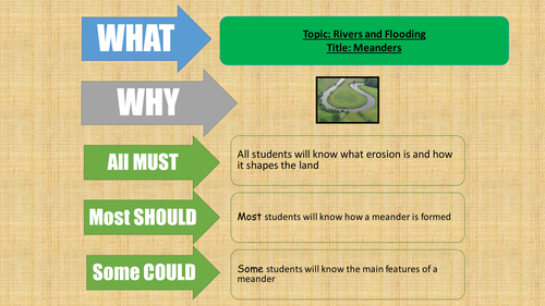
KS3 Geography - Managing flooding - Progress in Geography
Fully resourced lesson covering flood management. Fits well with the Progress in Geography book. I have included a range of different activities.

AQA Geography Lagos revision lesson and revision sheet
A fully resourced revision lesson covering Lagos as a NEE city.
Starter - Identify the case studies linked with the specification and add them to a World map.
Main - revision sheet to be completed using the information on the slides. I have tried to limit the amount of place specific detail for each area of the specification to 3 points so it is not too much to take in.
Revision sheet should be printed on A3 paper.

OCR A GEOGRAPHY EARTHQUAKE CASE STUDY
I have created an A3 revision sheet for students to complete to aid them with their revision. I have also included a PowerPoint with all the information needed to complete the sheet. The revision sheet is double sided. On the back I have included examples of potential exam questions.
My students complete the revision sheet and I then laminated them so they could practise answering the questions on the back.

Plate tectonics - Earthquakes and volcanoes
A brilliant selection of resources I have created to teach plate tectonics. I have included easy to follow PowerPoint's for each lesson and attached the relevant worksheets/printouts. The students loved the diversity of the activities which includes maps from memory, desk mat tasks, market place, card sorts, earthquake proof building design, timelines, cartoon strips, a mid unit test and lots more interesting tasks. I have included starter tasks for each lesson, learning objectives using what, why and how, main tasks and consolidate/plenary tasks. They are really easy to follow. I have included lessons on the following topics:
The structure of the Earth
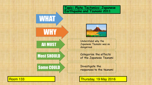
Japanese earthquake and tsunami
Earthquake hazard management
Supervolcano
What are earthquakes and how are they measured?
Pompeii 79 AD
What are the hazards associated with volcanoes?

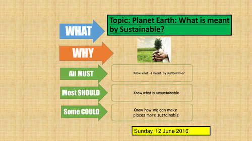
What does sustainable mean?
A number of activities for students to understand the concept of sustainability.
Students are to create their own sustainable community.

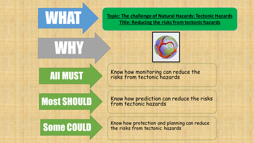
Tectonic hazard management fully resourced lesson
A PowerPoint with various tasks used to teach how the risks from tectonic hazards can be reduced.

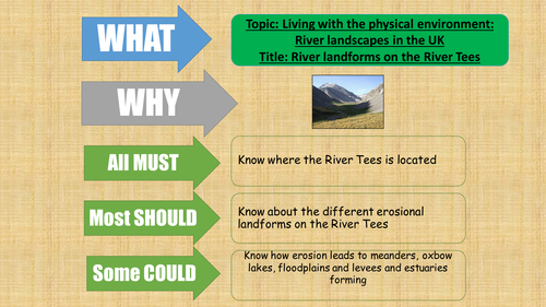
River landforms along the River Tees fully resourced lesson
River landforms along the River Tees fully resourced lesson - with PowerPoint, video with questions and case study sheet.

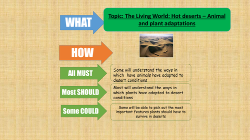
Animal and plant adaptations in the hot desert - fully resourced lesson
Animal and plant adaptations in the hot desert - fully resourced lesson

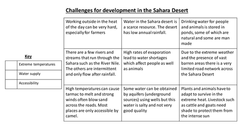
Challenges for development in the Sahara desert - fully resourced lesson
Challenges for development in the Sahara desert - fully resourced lesson

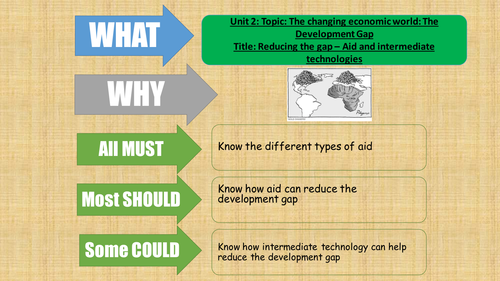
AQA Geography 2016 - The development gap - lesson 8 - what is aid
Fully resourced lesson - types of aid table fill, various videos introducing aid and looking at Goat Aid, Is aid good for LICs dilemma task and a practise exam question.

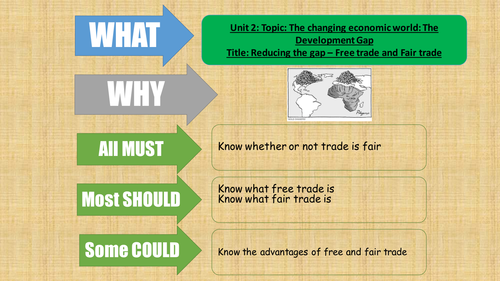
AQA Geography 2016 - The changing economic world - Free trade and Fairtrade
A fully resourced lesson for the new AQA Geography specification looking at free and Fairtrade.
Lots of tasks included:
Videos and questions
Sorting task
Gap fill spider diagram
Table to complete
Exam question
Discussions

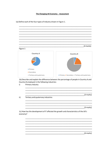
AQA Geography - The changing UK economy - end of unit assessment
AQA Geography - The changing UK economy - end of unit assessment

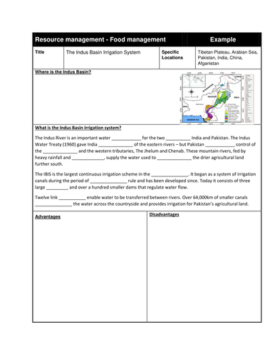
Resource management - introduction and food management lessons AQA 2018 GCSE Geography
All lessons for the Resource Management topic of the new GCSE specification.
Lesson 1 - The global distribution of resources
Lesson 2 - Provision of food in the UK
Lesson 3 - Provision of water in the UK
Lesson 4 - Provision of energy in the UK
Lesson 5 - Global food supply
Lesson 6 - Impact of food insecurity
Lesson 7 - Increasing food supply
Lesson 8 - The Indus Basin Irrigation System
Lessons 9 and 10 - Sustainable food production
Huge variety of resources included, exam questions each lesson.

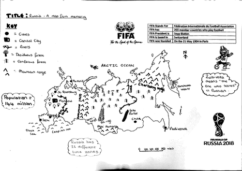
Introducing Russia - Geography
A lesson introducing Russia.
Students look at the key physical and human features of the country.
Included; Map from memory, videos and table.


