Lesson designed for Y7 to tackle the most common misconceptions in relation to the atmosphere:
what is ‘up there’
ozone layer
greenhouse gases layer
shooting stars
All resources are in the PPT
Enjoy
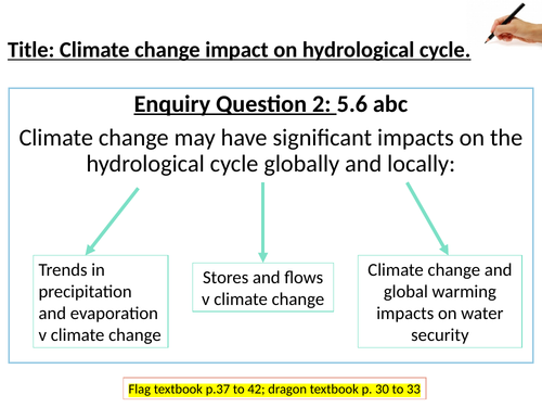
The lesson covers key idea 5.6 detailed content a, b and c of the Edexcel A level specification. The PPT is based on two textbooks:
Edexcel A level book 2 by Hodder Education referred to as ‘flags textbook’
Geography for Edexcel A level year 2 by Oxford University Press referred to as ‘dragon textbook’
The whole key idea is covered within one PPT, instructions and resources are withing the PPT, the lesson ends with an exam question taken from Edexcel A Level Geography past papers.
Enjoy teaching
The lesson is based around questionnaire design based on secondary data and presenting and analyzing data after the student collects it in their own class. I always collect additional data from other classes that I teach and they have a more reliable picture overall. Students enjoy the data processing and presentation aspects. It most definitely take you more than one lesson.
All resources needed are in the PPT or attached.
Enjoy teaching
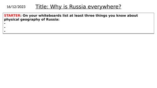
This lesson was designed to introduce Russia to my Y9 students. The lesson covers the location of Russia in the world and physical features within Russia. There are variety of tasks: map, description, annotating, reading comprehension. For the map tasks any atlas that has political world map and physical map of Russia will do.
My students enjoyed the lesson, it stretched over two 60-minute lessons, with two middle and bottom set classes.
All resources needed are within the PPT. The lesson fulfills the KS3 national curriculum for England.
Enjoy
Students plan and conduct their own fieldwork based on what they have learned on our previous lessons. That lesson would take at least 2 teaching hours.
All resources attached or in the PPT.
Enjoy teaching
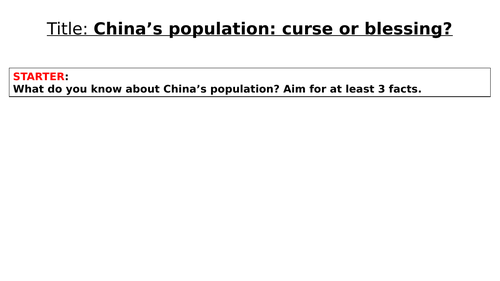
The lesson was designed for Y9 students as part of the Superpower unit.
The atlas that is mentioned is Collins Student Atlas but any atlas with a political world map and physical map of China will work.
All resources needed are included in the PPT.
Enjoy teaching
The lesson was designed for Y9 students to explain the changing relationships regarding energy sources in Europe and in the world.
The atlas that the slides refer to is Collins Student Atlas. The maps that were used from this atlas were about energy production and energy consumption around the world, and also a map showing main players in gas, coal and oil production.
The lesson has a variety of tasks designed to engage students of different abilities and fulfills the KS3 national curriculum.
All resources are in the PPT.
Enjoy teaching
The lesson is based on research that students are completing. Based on the information they collected the final ‘evaluate’ question should be answered.
My Y9 students loved the lesson.
All resources are included in the PPT
The lesson is part of a Superpower unit that includes lessons about Russia, China, the USA, and the Middle East.
Enjoy teaching
The lesson covers the tense and unfriendly relationship between China and the British Empire that resulted in the two Opium Wars.
The lesson also explains how to answer an ‘explain’ question.
The lesson is a part of a Superpower unit designed for Y9 students.
All resources are in the PPT.
Enjoy teaching
A set of 5 lessons about China.
L3: Location and physical features
L4: Population: research lesson
L5: China’s relationship with Tibet
L6: The South China Sea
L7: Opium Wars: China and the British Empire
All resources are in PPTs, the atlas that is referred to in the Collins Student Atlas. Evaluate, explain and describe answered are practiced in those lessons.
My students enjoyed it, hope yours will too.
Enjoy teaching
This lesson is a part of the Superpower Unit made for my Y9.
The lesson covers the social and economic importance of the Mississippi River.
All resources are included in the PPT.
Enjoy teaching
This is lesson 9 in the Superpower unit I made for my Y9.
The lesson has a go at explaining why the USA has to keep an eye on Cuba and how easily Cuba could negatively impact US’s trade if powerful enough.
All resources are included. The atlas mentioned in one of the tasks is the Collins Students Atlas but can be easily exchanged with an atlas that your school has.
Enjoy teaching
Lesson 6 focuses on meander and oxbow lake formation.
Key ideas: identifying different features using a photo, notes taking, diagram drawing (geographical skills), assessment type questions ‘explain’ and ‘name’ (exam skills), key terms definitions, sequence of a meander and ox-bow lake formation, features of a meander and knowledge recall (knowledge).
Lesson 7 focuses on formation of floodplains and levees. This lesson requires ‘AQA 9-1 GCSE Geography’ textbook by Hodder Education.
Key ideas:
Geographical skills: analyzing diagrams and an OS map, using an OS map extract to simplify it, calculating distance using 1:50000 scale
Exam skills: assessment type questions ‘working with an OS map’, time management, knowledge recall
Knowledge: key terms definitions, sequence of a floodplain and levees formation
Lesson 5 focuses on waterfall formation, using the High Force Waterfall on the River Tees as an example.
Key ideas: using a photo of a waterfall to identify some features of this landform (geographical skills), key terminology and names of waterfall features (knowledge), using resources, i.e.: photos (application of knowledge), assessment type questions ‘explain’ and ‘label’ (exam skills), knowledge recall (knowledge), making 3D model of a waterfall (creativity).
A short knowledge test that you can do as a starter or a plenary to consolidate the key terminology. It comes with a feedback PPT so the students can peer assess each other, which gives them the knowledge of how to answer short answer questions to get the maximum mark and it also gives them the detailed knowledge for leveled marked questions. I use it for the above reasons and also to help them memorise the knowledge in section but throughout the year as some of them have the bad tendency to wait until one day before the exam where is too late.
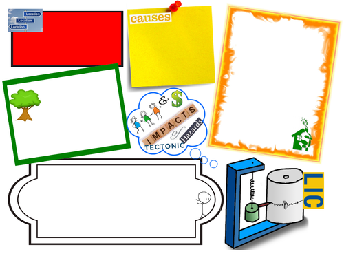
These are six outlines one for each case study for EQ2. My students used them to classify the information they researched specific impacts of an earthquake, a volcanic eruption and a tsunami in LICs and HICs using geofile, geo factsheet, geoactive. They are suitable for any case studies as you can adapt them to responses as well.
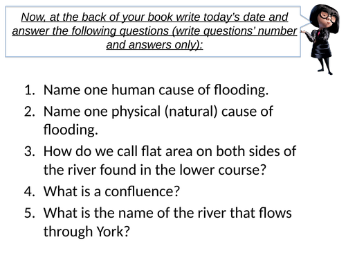
Lesson 9 concentrates on impacts and responses of 2015 flood in York.
Key ideas:
Geographical skills: selecting information, differentiating information into impacts and responses
Exam skills: assessment type question ‘justify’, time management, knowledge recall, information selection from unknown source, reading comprehension
Knowledge: key terms definitions, facts and figures about the December 2015 flood in York